Area Overview for BD6 2SP
Photos of BD6 2SP

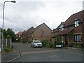
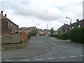
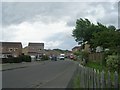
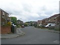
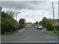
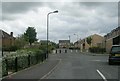
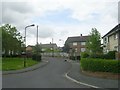
77 photos from this area
Area Information
Key information about the BD6 2SP including its size, population, and administrative classification.
- Area Type
- Postcode
- Area Size
- 12.2 hectares
- Population
- 1663
- Population Density
- 814 people/km²
House Prices in BD6 2SP
44
Properties
£69,447
Average Sold Price
£10,000
Lowest Price
£129,995
Highest Price
Showing 44 properties
| Address | Type | Beds | Baths | Last Sale Price | Last Sale Date | |
|---|---|---|---|---|---|---|
| 58 Meadway, Bradford, BD6 2SP | Semi-detached | 3 | 1 | £105,000 | Apr 2025 | |
| 75 Meadway, Bradford, BD6 2SP | Flat | 1 | 1 | £39,950 | Jan 2025 | |
| 71 Meadway, Bradford, BD6 2SP | Flat | 1 | 1 | £38,000 | Jan 2024 | |
| 70 Meadway, Bradford, BD6 2SP | Semi-detached | 3 | 1 | £129,995 | Jan 2022 | |
| 26 Meadway, Bradford, BD6 2SP | Semi-detached | 3 | 1 | £90,000 | Mar 2020 | |
| 40 Meadway, Bradford, BD6 2SP | house | 4 | 1 | £77,000 | Jan 2018 | |
| 56 Meadway, Bradford, BD6 2SP | Semi-detached | 3 | 1 | £110,000 | Oct 2017 | |
| 48 Meadway, Bradford, BD6 2SP | house | 3 | - | £80,000 | Dec 2011 | |
| 73 Meadway, Bradford, BD6 2SP | Flat | - | - | £35,000 | Aug 2010 | |
| 64 Meadway, Bradford, BD6 2SP | Semi-detached | - | - | £104,000 | Sep 2008 |
Page 1 of 5
Energy Efficiency in BD6 2SP
Amenities
Schools
| Rank | School | Type | Entry gender | Ages |
|---|
Explore more schools in this area
Go to Schools tabDemographics
Household Size
Family (3-5 people)
most common
Accommodation Type
Houses
most common
Tenure
47
majority
Ethnic Group
White
most common
Religion
N/A
most common
Household Composition
N/A
most common
Age
47
median
Adults (30-64 years)
most common
Household Deprivation
N/A
with no deprivation
NS-SEC
18
in Lower managerial occupations
Explore more demographic insights in this area
Go to Demographics tabPlanning
Planning Constraints
- Flood RiskPremium
- Ramsar Wetland SitesPremium
- Area of Outstanding Natural BeautyPremium
- Protected Nature ReservePremium
- Protected WoodlandPremium