Area Overview for BD5 8LD
Photos of BD5 8LD
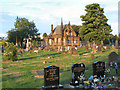
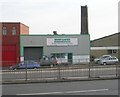
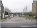
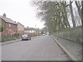
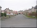
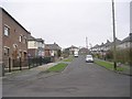
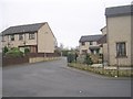
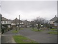
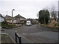
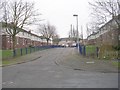
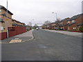
100 photos from this area
Area Information
Key information about the BD5 8LD including its size, population, and administrative classification.
- Area Type
- Postcode
- Area Size
- 6767 m²
- Population
- 2591
- Population Density
- 2292 people/km²
House Prices in BD5 8LD
5
Properties
£157,238
Average Sold Price
£49,950
Lowest Price
£330,000
Highest Price
Showing 5 properties
| Address | Type | Beds | Baths | Last Sale Price | Last Sale Date | |
|---|---|---|---|---|---|---|
| 352 Rooley Lane, Bradford, BD5 8LD | Retail | 3 | 2 | £330,000 | Sep 2023 | |
| 374 Rooley Lane, Bradford, BD5 8LD | house | - | - | £69,000 | Sep 2021 | |
| 372 Rooley Lane, Bradford, BD5 8LD | house | - | - | £180,000 | Jul 2020 | |
| 376 Rooley Lane, Bradford, BD5 8LD | house | - | - | £49,950 | May 2001 | |
| Flat At, Padagan Boarding Kennels, 354 Rooley Lane, Bradford, BD5 8LD | Flat | - | - | - | - |
Energy Efficiency in BD5 8LD
Amenities
Schools
| Rank | School | Type | Entry gender | Ages |
|---|
Explore more schools in this area
Go to Schools tabDemographics
Household Size
Family (3-5 people)
most common
Accommodation Type
Houses
most common
Tenure
56
majority
Ethnic Group
White
most common
Religion
N/A
most common
Household Composition
N/A
most common
Age
47
median
Adults (30-64 years)
most common
Household Deprivation
N/A
with no deprivation
NS-SEC
21
in Lower managerial occupations
Explore more demographic insights in this area
Go to Demographics tabPlanning
Planning Constraints
- Flood RiskPremium
- Ramsar Wetland SitesPremium
- Area of Outstanding Natural BeautyPremium
- Protected Nature ReservePremium
- Protected WoodlandPremium