Area Overview for BD4 7JU
Photos of BD4 7JU
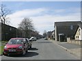
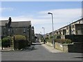
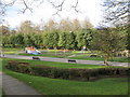
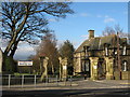
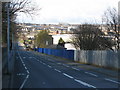
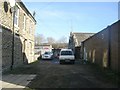
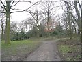
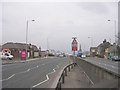
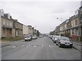
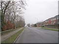
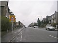
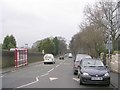
100 photos from this area
Area Information
Key information about the BD4 7JU including its size, population, and administrative classification.
- Area Type
- Postcode
- Area Size
- 2443 m²
- Population
- 1642
- Population Density
- 1857 people/km²
House Prices in BD4 7JU
10
Properties
£63,879
Average Sold Price
£32,000
Lowest Price
£90,000
Highest Price
Showing 10 properties
| Address | Type | Beds | Baths | Last Sale Price | Last Sale Date | |
|---|---|---|---|---|---|---|
| 199 New Hey Road, Bradford, BD4 7JU | house | 4 | 1 | £90,000 | Feb 2025 | |
| 120 New Hey Road, Bradford, BD4 7JU | house | 4 | 1 | £65,000 | Feb 2020 | |
| 197 New Hey Road, Bradford, BD4 7JU | Terraced | 3 | 1 | £69,250 | Jun 2018 | |
| 201 New Hey Road, Bradford, BD4 7JU | Terraced | 2 | 1 | £72,000 | Sep 2006 | |
| 203 New Hey Road, Bradford, BD4 7JU | Terraced | - | - | £77,950 | May 2005 | |
| 195 New Hey Road, Bradford, BD4 7JU | house | - | - | £40,950 | Apr 2004 | |
| 207 New Hey Road, Bradford, BD4 7JU | Terraced | - | - | £32,000 | Sep 2000 | |
| 193 New Hey Road, Bradford, BD4 7JU | house | - | - | - | - | |
| 205 New Hey Road, Bradford, BD4 7JU | Terraced | - | - | - | - | |
| 118 New Hey Road, Bradford, BD4 7JU | Terraced | - | - | - | - |
Energy Efficiency in BD4 7JU
Amenities
Schools
| Rank | School | Type | Entry gender | Ages |
|---|
Explore more schools in this area
Go to Schools tabDemographics
Household Size
One person
most common
Accommodation Type
Houses
most common
Tenure
38
majority
Ethnic Group
White
most common
Religion
N/A
most common
Household Composition
N/A
most common
Age
47
median
Adults (30-64 years)
most common
Household Deprivation
N/A
with no deprivation
NS-SEC
16
in Lower managerial occupations
Explore more demographic insights in this area
Go to Demographics tabPlanning
Planning Constraints
- Flood RiskPremium
- Ramsar Wetland SitesPremium
- Area of Outstanding Natural BeautyPremium
- Protected Nature ReservePremium
- Protected WoodlandPremium