Area Overview for BD3 7BE
Photos of BD3 7BE
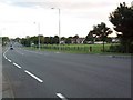
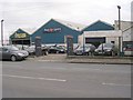
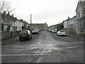
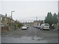
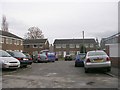
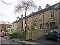
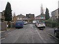
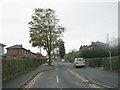
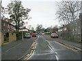
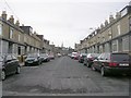
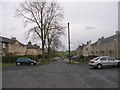
100 photos from this area
Area Information
Key information about the BD3 7BE including its size, population, and administrative classification.
- Area Type
- Postcode
- Area Size
- 2.4 hectares
- Population
- 1707
- Population Density
- 2500 people/km²
House Prices in BD3 7BE
36
Properties
£85,568
Average Sold Price
£30,000
Lowest Price
£150,000
Highest Price
Showing 36 properties
| Address | Type | Beds | Baths | Last Sale Price | Last Sale Date | |
|---|---|---|---|---|---|---|
| 69 Grange Avenue, Thornbury, Bradford, BD3 7BE | house | - | - | £150,000 | Feb 2022 | |
| 7 Grange Avenue, Thornbury, Bradford, BD3 7BE | Terraced | 3 | 1 | £117,000 | May 2018 | |
| 57 Grange Avenue, Thornbury, Bradford, BD3 7BE | house | 3 | - | £95,000 | May 2015 | |
| 19 Grange Avenue, Thornbury, Bradford, BD3 7BE | Terraced | 3 | - | £120,000 | Feb 2015 | |
| 65 Grange Avenue, Thornbury, Bradford, BD3 7BE | house | - | - | £135,000 | Mar 2014 | |
| 55 Grange Avenue, Thornbury, Bradford, BD3 7BE | house | 3 | - | £120,000 | May 2011 | |
| 61 Grange Avenue, Thornbury, Bradford, BD3 7BE | house | 3 | - | £115,000 | Dec 2010 | |
| 9 Grange Avenue, Thornbury, Bradford, BD3 7BE | house | - | - | £116,000 | Sep 2010 | |
| 23 Grange Avenue, Thornbury, Bradford, BD3 7BE | Semi-detached | 3 | 2 | £110,000 | May 2008 | |
| 17 Grange Avenue, Thornbury, Bradford, BD3 7BE | house | 3 | - | £90,000 | Sep 2005 |
Page 1 of 4
Energy Efficiency in BD3 7BE
Amenities
Schools
| Rank | School | Type | Entry gender | Ages |
|---|
Explore more schools in this area
Go to Schools tabDemographics
Household Size
Family (3-5 people)
most common
Accommodation Type
Houses
most common
Tenure
81
majority
Ethnic Group
asian_total
most common
Religion
N/A
most common
Household Composition
N/A
most common
Age
47
median
Adults (30-64 years)
most common
Household Deprivation
N/A
with no deprivation
NS-SEC
30
in Lower managerial occupations
Explore more demographic insights in this area
Go to Demographics tabPlanning
Planning Constraints
- Flood RiskPremium
- Ramsar Wetland SitesPremium
- Area of Outstanding Natural BeautyPremium
- Protected Nature ReservePremium
- Protected WoodlandPremium