Area Overview for BD24 9PR
Photos of BD24 9PR
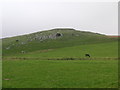
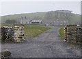
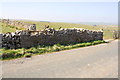
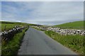
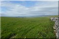
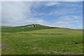
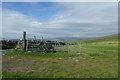


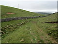
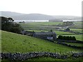
32 photos from this area
Area Information
Key information about the BD24 9PR including its size, population, and administrative classification.
- Area Type
- Postcode
- Area Size
- 12.9 km²
- Population
- 1538
- Population Density
- 10 people/km²
House Prices in BD24 9PR
12
Properties
£499,500
Average Sold Price
£499,500
Lowest Price
£499,500
Highest Price
Showing 12 properties
| Address | Type | Beds | Baths | Last Sale Price | Last Sale Date | |
|---|---|---|---|---|---|---|
| Capon Hall Cottage, Capon Hall To Street Gate, Malham Moor, BD24 9PR | Detached | 5 | 2 | £499,500 | Oct 2020 | |
| Capon Hall, Capon Hall To Street Gate, Malham Moor, BD24 9PR | Detached | 7 | 5 | - | - | |
| Limestones, Capon Hall To Street Gate, Malham Moor, BD24 9PR | Detached | 7 | - | - | - | |
| Bennetts, High Trenhouse, High Trenhouse, Malham Moor, BD24 9PR | hotel | - | - | - | - | |
| Northend, High Trenhouse, High Trenhouse, Malham Moor, BD24 9PR | hotel | - | - | - | - | |
| Myers Farmhouse, Henside Road, Malham Moor, BD24 9PR | house | - | - | - | - | |
| Low Tren House Farm, Capon Hall To Street Gate, Malham Moor, BD24 9PR | house | - | - | - | - | |
| Kiln House, Tennant Gill To Limekiln Hill, Malham Moor, BD24 9PR | house | - | - | - | - | |
| Flat, High Trenthouse, High Trenhouse, Malham Moor, BD24 9PR | Flat | - | - | - | - | |
| West Side House, Henside Road, Malham Moor, BD24 9PR | Detached | - | - | - | - |
Page 1 of 2
Energy Efficiency in BD24 9PR
Amenities
Schools
| Rank | School | Type | Entry gender | Ages |
|---|
Explore more schools in this area
Go to Schools tabDemographics
Household Size
Two person
most common
Accommodation Type
Houses
most common
Tenure
75
majority
Ethnic Group
White
most common
Religion
N/A
most common
Household Composition
N/A
most common
Age
47
median
Adults (30-64 years)
most common
Household Deprivation
N/A
with no deprivation
NS-SEC
44
in Lower managerial occupations
Explore more demographic insights in this area
Go to Demographics tabPlanning
Planning Constraints
- Flood RiskPremium
- Ramsar Wetland SitesPremium
- Area of Outstanding Natural BeautyPremium
- Protected Nature ReservePremium
- Protected WoodlandPremium