Area Overview for BD23 6SH
Photos of BD23 6SH
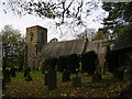
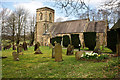
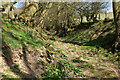
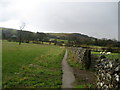
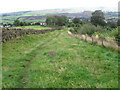
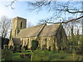
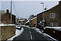
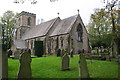
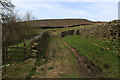
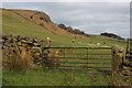
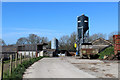
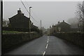
69 photos from this area
Area Information
Key information about the BD23 6SH including its size, population, and administrative classification.
- Area Type
- Postcode
- Area Size
- 14.8 hectares
- Population
- 1915
- Population Density
- 106 people/km²
House Prices in BD23 6SH
6
Properties
£543,776
Average Sold Price
£180,000
Lowest Price
£860,000
Highest Price
Showing 6 properties
| Address | Type | Beds | Baths | Last Sale Price | Last Sale Date | |
|---|---|---|---|---|---|---|
| Ramsgill House, 10 Kirk Lane, Eastby, BD23 6SH | house | - | - | £812,500 | Jun 2023 | |
| 14 Kirk Lane, Eastby, BD23 6SH | Retail | 5 | - | £406,382 | Jun 2022 | |
| Hawlands, 6 Kirk Lane, Eastby, BD23 6SH | house | - | - | £860,000 | Jun 2019 | |
| Hawcroft, 12 Kirk Lane, Eastby, BD23 6SH | Detached | - | - | £460,000 | Sep 2005 | |
| Harbledown, 8 Kirk Lane, Eastby, BD23 6SH | house | - | - | £180,000 | Jan 1995 | |
| Craggs, 4 Kirk Lane, Eastby, BD23 6SH | Detached | - | - | - | - |
Energy Efficiency in BD23 6SH
Amenities
Schools
| Rank | School | Type | Entry gender | Ages |
|---|
Explore more schools in this area
Go to Schools tabDemographics
Household Size
Two person
most common
Accommodation Type
Houses
most common
Tenure
78
majority
Ethnic Group
White
most common
Religion
N/A
most common
Household Composition
N/A
most common
Age
47
median
Adults (30-64 years)
most common
Household Deprivation
N/A
with no deprivation
NS-SEC
49
in Lower managerial occupations
Explore more demographic insights in this area
Go to Demographics tabPlanning
Planning Constraints
- Flood RiskPremium
- Ramsar Wetland SitesPremium
- Area of Outstanding Natural BeautyPremium
- Protected Nature ReservePremium
- Protected WoodlandPremium