Area Overview for BD23 5BT
Photos of BD23 5BT
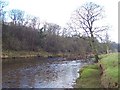
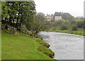
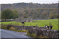
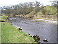
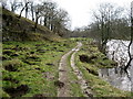
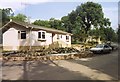
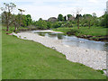
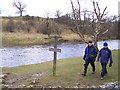
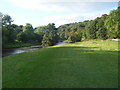
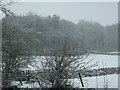
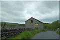
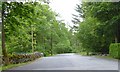
55 photos from this area
Area Information
Key information about the BD23 5BT including its size, population, and administrative classification.
- Area Type
- Postcode
- Area Size
- 15.8 hectares
- Population
- 1804
- Population Density
- 8 people/km²
House Prices in BD23 5BT
7
Properties
£381,500
Average Sold Price
£100,000
Lowest Price
£569,000
Highest Price
Showing 7 properties
| Address | Type | Beds | Baths | Last Sale Price | Last Sale Date | |
|---|---|---|---|---|---|---|
| Strathview, The Avenue, Threshfield, BD23 5BT | Semi-detached | 4 | - | £475,000 | Nov 2024 | |
| Dalecroft, The Avenue, Threshfield, BD23 5BT | Semi-detached | - | - | £425,000 | Jun 2021 | |
| Bridgeford, The Avenue, Threshfield, BD23 5BT | house | - | - | £569,000 | Aug 2019 | |
| Silverdale, The Avenue, Threshfield, BD23 5BT | Semi-detached | - | - | £100,000 | Sep 2014 | |
| Rotherwood, The Avenue, Threshfield, BD23 5BT | house | - | - | £445,000 | Jul 2007 | |
| Garsleigh, The Avenue, Threshfield, BD23 5BT | Semi-detached | 5 | 2 | £275,000 | Oct 2003 | |
| Dalecroft Cottage, The Avenue, Threshfield, BD23 5BT | Semi-detached | - | - | - | - |
Energy Efficiency in BD23 5BT
Amenities
Schools
| Rank | School | Type | Entry gender | Ages |
|---|
Explore more schools in this area
Go to Schools tabDemographics
Household Size
Two person
most common
Accommodation Type
Houses
most common
Tenure
78
majority
Ethnic Group
White
most common
Religion
N/A
most common
Household Composition
N/A
most common
Age
47
median
Adults (30-64 years)
most common
Household Deprivation
N/A
with no deprivation
NS-SEC
40
in Lower managerial occupations
Explore more demographic insights in this area
Go to Demographics tabPlanning
Planning Constraints
- Flood RiskPremium
- Ramsar Wetland SitesPremium
- Area of Outstanding Natural BeautyPremium
- Protected Nature ReservePremium
- Protected WoodlandPremium