Area Overview for BD23 4LA
Photos of BD23 4LA
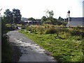
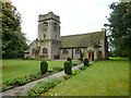
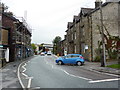
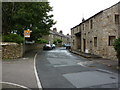
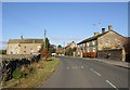
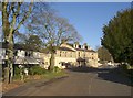
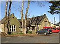
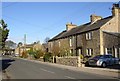
100 photos from this area
Area Information
Key information about the BD23 4LA including its size, population, and administrative classification.
- Area Type
- Postcode
- Area Size
- 14.0 hectares
- Population
- 2252
- Population Density
- 65 people/km²
House Prices in BD23 4LA
31
Properties
£269,400
Average Sold Price
£131,500
Lowest Price
£460,000
Highest Price
Showing 31 properties
| Address | Type | Beds | Baths | Last Sale Price | Last Sale Date | |
|---|---|---|---|---|---|---|
| 3 Gisburn Road, Hellifield, BD23 4LA | Cottage | 2 | 1 | £165,000 | Oct 2025 | |
| Rose Cottage Barn, Gisburn Road, Hellifield, BD23 4LA | Semi-detached | 3 | 2 | £375,000 | Feb 2025 | |
| 2, Barn Cottages, Gisburn Road, Hellifield, BD23 4LA | house | 2 | 1 | £182,500 | Jul 2022 | |
| Stonelea, Gisburn Road, Hellifield, BD23 4LA | Bungalow | - | - | £345,000 | Oct 2021 | |
| 5 Gisburn Road, Hellifield, BD23 4LA | house | - | - | £160,000 | Nov 2018 | |
| The Old Chapel, Gisburn Road, Hellifield, BD23 4LA | Semi-detached | 3 | 2 | £460,000 | Nov 2017 | |
| Chapel Farm, Gisburn Road, Hellifield, BD23 4LA | house | - | - | £365,000 | Mar 2017 | |
| Wood Close, Gisburn Road, Hellifield, BD23 4LA | Bungalow | - | - | £170,000 | Jul 2012 | |
| Inglenook Barn, Gisburn Road, Hellifield, BD23 4LA | Detached | - | - | £340,000 | Apr 2006 | |
| 4 Gisburn Road, Hellifield, BD23 4LA | Terraced | - | - | £131,500 | Nov 2005 |
Page 1 of 4
Energy Efficiency in BD23 4LA
Amenities
Schools
| Rank | School | Type | Entry gender | Ages |
|---|
Explore more schools in this area
Go to Schools tabDemographics
Household Size
Two person
most common
Accommodation Type
Houses
most common
Tenure
78
majority
Ethnic Group
White
most common
Religion
N/A
most common
Household Composition
N/A
most common
Age
47
median
Adults (30-64 years)
most common
Household Deprivation
N/A
with no deprivation
NS-SEC
37
in Lower managerial occupations
Explore more demographic insights in this area
Go to Demographics tabPlanning
Planning Constraints
- Flood RiskPremium
- Ramsar Wetland SitesPremium
- Area of Outstanding Natural BeautyPremium
- Protected Nature ReservePremium
- Protected WoodlandPremium