Area Overview for BD23 3RF
Photos of BD23 3RF
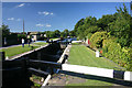
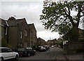
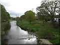
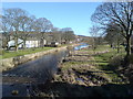
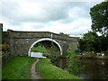
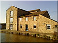

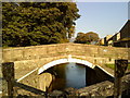
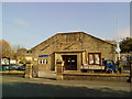
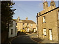
100 photos from this area
Area Information
Key information about the BD23 3RF including its size, population, and administrative classification.
- Area Type
- Postcode
- Area Size
- 8405 m²
- Population
- 1455
- Population Density
- 214 people/km²
House Prices in BD23 3RF
28
Properties
£153,929
Average Sold Price
£70,000
Lowest Price
£239,500
Highest Price
Showing 28 properties
| Address | Type | Beds | Baths | Last Sale Price | Last Sale Date | |
|---|---|---|---|---|---|---|
| 15 Higherlands Close, Gargrave, BD23 3RF | Bungalow | 2 | 1 | £239,500 | Jul 2025 | |
| 10 Higherlands Close, Gargrave, BD23 3RF | Bungalow | 2 | 1 | £195,000 | Mar 2025 | |
| 12 Higherlands Close, Gargrave, BD23 3RF | Bungalow | 2 | 1 | £199,000 | Feb 2025 | |
| 14 Higherlands Close, Gargrave, BD23 3RF | Bungalow | - | - | £80,000 | Feb 2021 | |
| 16 Higherlands Close, Gargrave, BD23 3RF | Bungalow | 2 | 1 | £129,000 | Jan 2019 | |
| 11 Higherlands Close, Gargrave, BD23 3RF | house | - | - | £165,000 | Mar 2016 | |
| 9 Higherlands Close, Gargrave, BD23 3RF | Semi-detached | 2 | 1 | £70,000 | Apr 2006 | |
| 33 Higherlands Close, Gargrave, BD23 3RF | Terraced | - | - | - | - | |
| 24 Higherlands Close, Gargrave, BD23 3RF | Bungalow | - | - | - | - | |
| 45 Higherlands Close, Gargrave, BD23 3RF | Bungalow | - | - | - | - |
Page 1 of 3
Energy Efficiency in BD23 3RF
Amenities
Schools
| Rank | School | Type | Entry gender | Ages |
|---|
Explore more schools in this area
Go to Schools tabDemographics
Household Size
Two person
most common
Accommodation Type
Houses
most common
Tenure
70
majority
Ethnic Group
White
most common
Religion
N/A
most common
Household Composition
N/A
most common
Age
47
median
Adults (30-64 years)
most common
Household Deprivation
N/A
with no deprivation
NS-SEC
40
in Lower managerial occupations
Explore more demographic insights in this area
Go to Demographics tabPlanning
Planning Constraints
- Flood RiskPremium
- Ramsar Wetland SitesPremium
- Area of Outstanding Natural BeautyPremium
- Protected Nature ReservePremium
- Protected WoodlandPremium