Area Overview for BD23 3PT
Photos of BD23 3PT
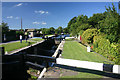
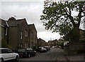
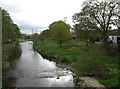
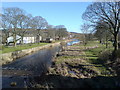
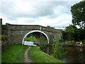
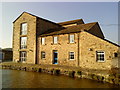

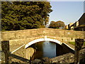
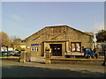
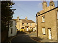
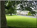
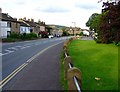
100 photos from this area
Area Information
Key information about the BD23 3PT including its size, population, and administrative classification.
- Area Type
- Postcode
- Area Size
- 2948 m²
- Population
- 1455
- Population Density
- 214 people/km²
House Prices in BD23 3PT
8
Properties
£268,749
Average Sold Price
£235,000
Lowest Price
£315,000
Highest Price
Showing 8 properties
| Address | Type | Beds | Baths | Last Sale Price | Last Sale Date | |
|---|---|---|---|---|---|---|
| 8 St Robert Close, Gargrave, BD23 3PT | Terraced | 3 | 1 | £300,000 | Aug 2025 | |
| 3 St Robert Close, Gargrave, BD23 3PT | Semi-detached | 3 | 1 | £315,000 | Jun 2020 | |
| 1 St Robert Close, Gargrave, BD23 3PT | Semi-detached | 3 | - | £235,000 | Nov 2016 | |
| 7 St Robert Close, Gargrave, BD23 3PT | Terraced | 3 | - | £250,000 | Oct 2014 | |
| 4 St Robert Close, Gargrave, BD23 3PT | house | 3 | - | £240,000 | Mar 2014 | |
| 5 St Robert Close, Gargrave, BD23 3PT | house | - | - | £260,000 | Mar 2010 | |
| 2 St Robert Close, Gargrave, BD23 3PT | Terraced | - | - | £269,995 | Nov 2004 | |
| 6 St Robert Close, Gargrave, BD23 3PT | house | - | - | £279,995 | Nov 2004 |
Energy Efficiency in BD23 3PT
Amenities
Schools
| Rank | School | Type | Entry gender | Ages |
|---|
Explore more schools in this area
Go to Schools tabDemographics
Household Size
Two person
most common
Accommodation Type
Houses
most common
Tenure
70
majority
Ethnic Group
White
most common
Religion
N/A
most common
Household Composition
N/A
most common
Age
47
median
Adults (30-64 years)
most common
Household Deprivation
N/A
with no deprivation
NS-SEC
40
in Lower managerial occupations
Explore more demographic insights in this area
Go to Demographics tabPlanning
Planning Constraints
- Flood RiskPremium
- Ramsar Wetland SitesPremium
- Area of Outstanding Natural BeautyPremium
- Protected Nature ReservePremium
- Protected WoodlandPremium