Area Overview for BD22 6QD
Photos of BD22 6QD
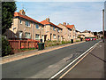
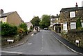
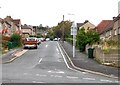
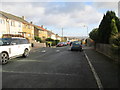
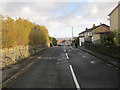
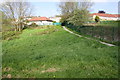
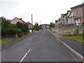
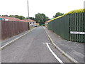
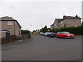
97 photos from this area
Area Information
Key information about the BD22 6QD including its size, population, and administrative classification.
- Area Type
- Postcode
- Area Size
- 6704 m²
- Population
- 1922
- Population Density
- 5307 people/km²
House Prices in BD22 6QD
20
Properties
£78,750
Average Sold Price
£55,000
Lowest Price
£120,000
Highest Price
Showing 20 properties
| Address | Type | Beds | Baths | Last Sale Price | Last Sale Date | |
|---|---|---|---|---|---|---|
| 190 Braithwaite Avenue, Keighley, BD22 6QD | house | 3 | 1 | £120,000 | Jul 2024 | |
| 186 Braithwaite Avenue, Keighley, BD22 6QD | Terraced | 3 | 1 | £65,000 | Jul 2019 | |
| 184 Braithwaite Avenue, Keighley, BD22 6QD | house | - | - | £55,000 | Dec 2017 | |
| 192 Braithwaite Avenue, Keighley, BD22 6QD | house | 3 | 1 | £81,500 | Oct 2015 | |
| 196 Braithwaite Avenue, Keighley, BD22 6QD | house | - | - | £82,000 | Aug 2012 | |
| 188 Braithwaite Avenue, Keighley, BD22 6QD | Terraced | - | - | £69,000 | Jan 2008 | |
| 158 Braithwaite Avenue, Keighley, BD22 6QD | Bungalow | - | - | - | - | |
| 164 Braithwaite Avenue, Keighley, BD22 6QD | Bungalow | - | - | - | - | |
| 182 Braithwaite Avenue, Keighley, BD22 6QD | Terraced | - | - | - | - | |
| 178 Braithwaite Avenue, Keighley, BD22 6QD | Bungalow | - | - | - | - |
Page 1 of 2
Energy Efficiency in BD22 6QD
Amenities
Schools
| Rank | School | Type | Entry gender | Ages |
|---|
Explore more schools in this area
Go to Schools tabDemographics
Household Size
Family (3-5 people)
most common
Accommodation Type
Houses
most common
Tenure
53
majority
Ethnic Group
White
most common
Religion
N/A
most common
Household Composition
N/A
most common
Age
47
median
Adults (30-64 years)
most common
Household Deprivation
N/A
with no deprivation
NS-SEC
23
in Lower managerial occupations
Explore more demographic insights in this area
Go to Demographics tabPlanning
Planning Constraints
- Flood RiskPremium
- Ramsar Wetland SitesPremium
- Area of Outstanding Natural BeautyPremium
- Protected Nature ReservePremium
- Protected WoodlandPremium