Area Overview for BD22 0LD
Photos of BD22 0LD
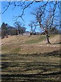
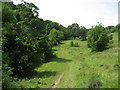
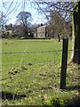
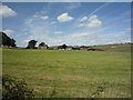
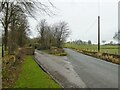
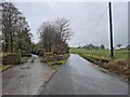
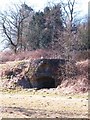
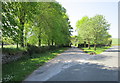
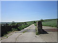
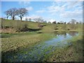
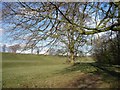

23 photos from this area
Area Information
Key information about the BD22 0LD including its size, population, and administrative classification.
- Area Type
- Postcode
- Area Size
- 68.3 hectares
- Population
- 2458
- Population Density
- 129 people/km²
House Prices in BD22 0LD
21
Properties
£496,111
Average Sold Price
£85,000
Lowest Price
£1,200,000
Highest Price
Showing 21 properties
| Address | Type | Beds | Baths | Last Sale Price | Last Sale Date | |
|---|---|---|---|---|---|---|
| The Paddocks, Carr Head Lane, Cowling, BD22 0LD | Land | - | - | £1,200,000 | Apr 2021 | |
| Chauffeurs Cottage, Carr Head Lane, Cowling, BD22 0LD | Detached | 3 | 1 | £375,000 | Mar 2021 | |
| The Pines, Carr Head Lane, Cowling, BD22 0LD | house | - | - | £405,000 | Aug 2020 | |
| Gamsghyll Barn, Carr Head Lane, Cowling, BD22 0LD | Detached | 4 | 2 | £510,000 | May 2017 | |
| Calvert Cottage, Carr Head Lane, Cowling, BD22 0LD | house | - | - | £405,000 | Apr 2016 | |
| The Maltings, Carr Head Lane, Cowling, BD22 0LD | house | - | - | £525,000 | Mar 2016 | |
| Stunstead, Carr Head Lane, Cowling, BD22 0LD | Detached | - | - | £85,000 | Oct 2015 | |
| West Wing Flat, Carr Head Hall, Carr Head Lane, Cowling, BD22 0LD | Flat | - | - | £460,000 | Mar 2015 | |
| Gamsghyll, Carr Head Lane, Cowling, BD22 0LD | Detached | - | - | £500,000 | Jun 2006 | |
| The Gardens, Carr Head Lane, Cowling, BD22 0LD | Detached | 5 | - | - | - |
Page 1 of 3
Energy Efficiency in BD22 0LD
Amenities
Schools
| Rank | School | Type | Entry gender | Ages |
|---|
Explore more schools in this area
Go to Schools tabDemographics
Household Size
Two person
most common
Accommodation Type
Houses
most common
Tenure
80
majority
Ethnic Group
White
most common
Religion
N/A
most common
Household Composition
N/A
most common
Age
47
median
Adults (30-64 years)
most common
Household Deprivation
N/A
with no deprivation
NS-SEC
37
in Lower managerial occupations
Explore more demographic insights in this area
Go to Demographics tabPlanning
Planning Constraints
- Flood RiskPremium
- Ramsar Wetland SitesPremium
- Area of Outstanding Natural BeautyPremium
- Protected Nature ReservePremium
- Protected WoodlandPremium