Area Overview for BD22 0AT
Photos of BD22 0AT
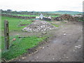
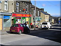
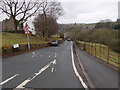
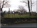
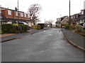
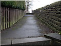
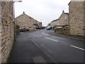
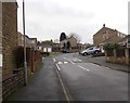
78 photos from this area
Area Information
Key information about the BD22 0AT including its size, population, and administrative classification.
- Area Type
- Postcode
- Area Size
- 1794 m²
- Population
- 2458
- Population Density
- 129 people/km²
House Prices in BD22 0AT
10
Properties
£90,250
Average Sold Price
£35,000
Lowest Price
£143,000
Highest Price
Showing 10 properties
| Address | Type | Beds | Baths | Last Sale Price | Last Sale Date | |
|---|---|---|---|---|---|---|
| 12 Green Street, Cowling, BD22 0AT | Terraced | 2 | 1 | £143,000 | Sep 2020 | |
| 14 Green Street, Cowling, BD22 0AT | Terraced | 2 | - | £115,000 | Jul 2015 | |
| 2 Green Street, Cowling, BD22 0AT | house | - | - | £131,000 | Jun 2012 | |
| 4 Green Street, Cowling, BD22 0AT | Terraced | - | - | £135,000 | Dec 2006 | |
| 8 Green Street, Cowling, BD22 0AT | Terraced | - | - | £64,500 | Apr 2002 | |
| 10 Green Street, Cowling, BD22 0AT | Terraced | - | - | £46,500 | Feb 2001 | |
| 18 Green Street, Cowling, BD22 0AT | Terraced | - | - | £52,000 | Oct 1998 | |
| 16 Green Street, Cowling, BD22 0AT | Terraced | - | - | £35,000 | Apr 1997 | |
| 94 Keighley Road, Cowling, BD22 0AT | Terraced | - | - | - | - | |
| 6 Green Street, Cowling, BD22 0AT | house | - | - | - | - |
Energy Efficiency in BD22 0AT
Amenities
Schools
| Rank | School | Type | Entry gender | Ages |
|---|
Explore more schools in this area
Go to Schools tabDemographics
Household Size
Two person
most common
Accommodation Type
Houses
most common
Tenure
80
majority
Ethnic Group
White
most common
Religion
N/A
most common
Household Composition
N/A
most common
Age
47
median
Adults (30-64 years)
most common
Household Deprivation
N/A
with no deprivation
NS-SEC
37
in Lower managerial occupations
Explore more demographic insights in this area
Go to Demographics tabPlanning
Planning Constraints
- Flood RiskPremium
- Ramsar Wetland SitesPremium
- Area of Outstanding Natural BeautyPremium
- Protected Nature ReservePremium
- Protected WoodlandPremium