Area Overview for BD21 1RP
Photos of BD21 1RP
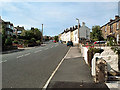
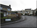
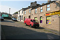
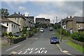
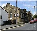
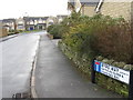
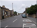
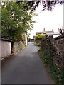
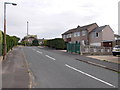
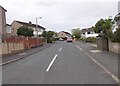


100 photos from this area
Area Information
Key information about the BD21 1RP including its size, population, and administrative classification.
- Area Type
- Postcode
- Area Size
- 3361 m²
- Population
- 1533
- Population Density
- 7597 people/km²
House Prices in BD21 1RP
11
Properties
£144,779
Average Sold Price
£49,950
Lowest Price
£225,000
Highest Price
Showing 11 properties
| Address | Type | Beds | Baths | Last Sale Price | Last Sale Date | |
|---|---|---|---|---|---|---|
| 376 Oakworth Road, Keighley, BD21 1RP | house | - | - | £150,000 | Jun 2022 | |
| 378 Oakworth Road, Keighley, BD21 1RP | house | - | - | £180,000 | Dec 2021 | |
| 370 Oakworth Road, Keighley, BD21 1RP | Semi-detached | 3 | 2 | £148,500 | Jul 2021 | |
| 374 Oakworth Road, Keighley, BD21 1RP | Semi-detached | 3 | 1 | £135,000 | Apr 2021 | |
| Hill Point, Oakworth Road, Keighley, BD21 1RP | house | - | - | £225,000 | May 2015 | |
| 380 Oakworth Road, Keighley, BD21 1RP | house | - | - | £125,000 | Mar 2006 | |
| 368 Oakworth Road, Keighley, BD21 1RP | Semi-detached | - | - | £49,950 | Aug 1999 | |
| 366 Oakworth Road, Keighley, BD21 1RP | Semi-detached | 3 | 1 | - | - | |
| 382 Oakworth Road, Keighley, BD21 1RP | house | 2 | 1 | - | - | |
| 382A Oakworth Road, Keighley, BD21 1RP | Terraced | 3 | 2 | - | - |
Page 1 of 2
Energy Efficiency in BD21 1RP
Amenities
Schools
| Rank | School | Type | Entry gender | Ages |
|---|
Explore more schools in this area
Go to Schools tabDemographics
Household Size
One person
most common
Accommodation Type
Houses
most common
Tenure
59
majority
Ethnic Group
White
most common
Religion
N/A
most common
Household Composition
N/A
most common
Age
47
median
Adults (30-64 years)
most common
Household Deprivation
N/A
with no deprivation
NS-SEC
19
in Lower managerial occupations
Explore more demographic insights in this area
Go to Demographics tabPlanning
Planning Constraints
- Flood RiskPremium
- Ramsar Wetland SitesPremium
- Area of Outstanding Natural BeautyPremium
- Protected Nature ReservePremium
- Protected WoodlandPremium