Area Overview for BD20 9ED
Photos of BD20 9ED
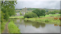

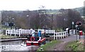
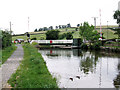
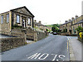
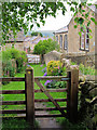
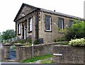
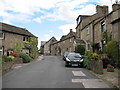
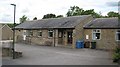
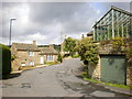
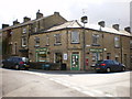
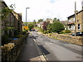
100 photos from this area
Area Information
Key information about the BD20 9ED including its size, population, and administrative classification.
- Area Type
- Postcode
- Area Size
- 1.2 hectares
- Population
- 1907
- Population Density
- 145 people/km²
House Prices in BD20 9ED
12
Properties
£209,841
Average Sold Price
£128,000
Lowest Price
£460,000
Highest Price
Showing 12 properties
| Address | Type | Beds | Baths | Last Sale Price | Last Sale Date | |
|---|---|---|---|---|---|---|
| 1 Skipton Road, Low Bradley, BD20 9ED | Terraced | 2 | 1 | £249,950 | Jul 2025 | |
| Eveleanor, Skipton Road, Low Bradley, BD20 9ED | Bungalow | - | - | £186,485 | Feb 2010 | |
| 3 Skipton Road, Low Bradley, BD20 9ED | Terraced | - | - | £128,000 | Jun 2008 | |
| Windy Ridge, Skipton Road, Low Bradley, BD20 9ED | Semi-detached | - | - | £460,000 | Aug 2007 | |
| 2 Skipton Road, Low Bradley, BD20 9ED | Terraced | - | - | £154,500 | Aug 2006 | |
| 4 Skipton Road, Low Bradley, BD20 9ED | Terraced | - | - | £140,000 | Dec 2003 | |
| Middlebeck, Skipton Road, Low Bradley, BD20 9ED | Semi-detached | - | - | £149,950 | Jun 2002 | |
| Ashfield, Skipton Road, Low Bradley, BD20 9ED | house | 3 | - | - | - | |
| Kimberley, Skipton Road, Low Bradley, BD20 9ED | Bungalow | - | - | - | - | |
| 6 Skipton Road, Low Bradley, BD20 9ED | Semi-detached | - | - | - | - |
Page 1 of 2
Energy Efficiency in BD20 9ED
Amenities
Schools
| Rank | School | Type | Entry gender | Ages |
|---|
Explore more schools in this area
Go to Schools tabDemographics
Household Size
Two person
most common
Accommodation Type
Houses
most common
Tenure
84
majority
Ethnic Group
White
most common
Religion
N/A
most common
Household Composition
N/A
most common
Age
47
median
Adults (30-64 years)
most common
Household Deprivation
N/A
with no deprivation
NS-SEC
44
in Lower managerial occupations
Explore more demographic insights in this area
Go to Demographics tabPlanning
Planning Constraints
- Flood RiskPremium
- Ramsar Wetland SitesPremium
- Area of Outstanding Natural BeautyPremium
- Protected Nature ReservePremium
- Protected WoodlandPremium