Area Overview for BD20 9BJ
Photos of BD20 9BJ
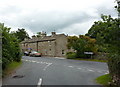
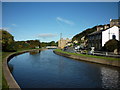
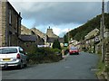

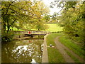
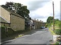
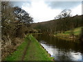
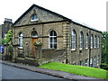
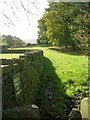
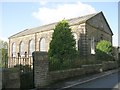
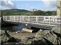
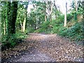
100 photos from this area
Area Information
Key information about the BD20 9BJ including its size, population, and administrative classification.
- Area Type
- Postcode
- Area Size
- 2.7 hectares
- Population
- 1907
- Population Density
- 145 people/km²
House Prices in BD20 9BJ
43
Properties
£208,976
Average Sold Price
£45,000
Lowest Price
£392,000
Highest Price
Showing 43 properties
| Address | Type | Beds | Baths | Last Sale Price | Last Sale Date | |
|---|---|---|---|---|---|---|
| 25 Main Street, Farnhill, BD20 9BJ | house | - | - | £243,000 | Mar 2025 | |
| 20-22 Main Street, Farnhill, BD20 9BJ | Bungalow | 2 | 1 | £256,000 | Oct 2024 | |
| 32 Main Street, Farnhill, BD20 9BJ | house | 2 | 1 | £169,995 | Jun 2024 | |
| 17 Main Street, Farnhill, BD20 9BJ | Terraced | 3 | 3 | £275,000 | Aug 2023 | |
| 65 Main Street, Farnhill, BD20 9BJ | Terraced | 2 | - | £273,970 | Jun 2023 | |
| 21 Main Street, Farnhill, BD20 9BJ | house | - | - | £246,950 | Sep 2021 | |
| Woodside, Main Street, Farnhill, BD20 9BJ | education | - | - | £322,000 | Aug 2021 | |
| 71 Main Street, Farnhill, BD20 9BJ | Terraced | 2 | 1 | £245,000 | Jan 2021 | |
| 29 Main Street, Farnhill, BD20 9BJ | house | - | - | £225,000 | Nov 2020 | |
| Bankfield, Main Street, Farnhill, BD20 9BJ | house | - | - | £248,000 | Oct 2020 |
Page 1 of 5
Energy Efficiency in BD20 9BJ
Amenities
Schools
| Rank | School | Type | Entry gender | Ages |
|---|
Explore more schools in this area
Go to Schools tabDemographics
Household Size
Two person
most common
Accommodation Type
Houses
most common
Tenure
84
majority
Ethnic Group
White
most common
Religion
N/A
most common
Household Composition
N/A
most common
Age
47
median
Adults (30-64 years)
most common
Household Deprivation
N/A
with no deprivation
NS-SEC
44
in Lower managerial occupations
Explore more demographic insights in this area
Go to Demographics tabPlanning
Planning Constraints
- Flood RiskPremium
- Ramsar Wetland SitesPremium
- Area of Outstanding Natural BeautyPremium
- Protected Nature ReservePremium
- Protected WoodlandPremium