Area Overview for BD20 8QR
Photos of BD20 8QR
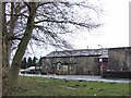
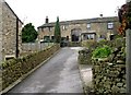
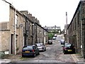
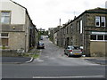
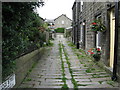
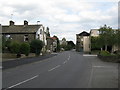
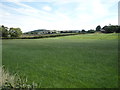
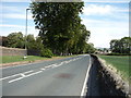
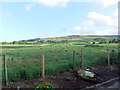
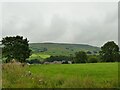
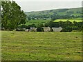
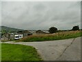
45 photos from this area
Area Information
Key information about the BD20 8QR including its size, population, and administrative classification.
- Area Type
- Postcode
- Area Size
- 2835 m²
- Population
- 1383
- Population Density
- 324 people/km²
House Prices in BD20 8QR
11
Properties
£145,825
Average Sold Price
£74,000
Lowest Price
£247,000
Highest Price
Showing 11 properties
| Address | Type | Beds | Baths | Last Sale Price | Last Sale Date | |
|---|---|---|---|---|---|---|
| 15 Colne Road, Glusburn, BD20 8QR | house | - | - | £97,000 | Nov 2021 | |
| 13 Colne Road, Glusburn, BD20 8QR | Terraced | 2 | 1 | £107,000 | Mar 2020 | |
| 17 Colne Road, Glusburn, BD20 8QR | house | - | - | £247,000 | Jul 2018 | |
| 31 Colne Road, Glusburn, BD20 8QR | Terraced | 4 | 1 | £169,950 | Mar 2018 | |
| Smithy Cottage, 9 Colne Road, Glusburn, BD20 8QR | house | 3 | 1 | £180,000 | Aug 2015 | |
| 13A Colne Road, Glusburn, BD20 8QR | house | - | - | £74,000 | Jun 2009 | |
| 23 Colne Road, Glusburn, BD20 8QR | Terraced | - | - | - | - | |
| 11 Colne Road, Glusburn, BD20 8QR | Terraced | - | - | - | - | |
| 19 Colne Road, Glusburn, BD20 8QR | house | - | - | - | - | |
| 25 Colne Road, Glusburn, BD20 8QR | Terraced | - | - | - | - |
Page 1 of 2
Energy Efficiency in BD20 8QR
Amenities
Schools
| Rank | School | Type | Entry gender | Ages |
|---|
Explore more schools in this area
Go to Schools tabDemographics
Household Size
Two person
most common
Accommodation Type
Houses
most common
Tenure
80
majority
Ethnic Group
White
most common
Religion
N/A
most common
Household Composition
N/A
most common
Age
47
median
Adults (30-64 years)
most common
Household Deprivation
N/A
with no deprivation
NS-SEC
40
in Lower managerial occupations
Explore more demographic insights in this area
Go to Demographics tabPlanning
Planning Constraints
- Flood RiskPremium
- Ramsar Wetland SitesPremium
- Area of Outstanding Natural BeautyPremium
- Protected Nature ReservePremium
- Protected WoodlandPremium