Area Overview for BD20 7BD
Photos of BD20 7BD
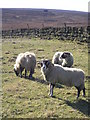
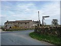
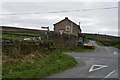
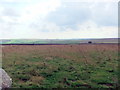
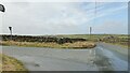
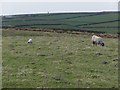
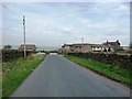
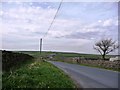
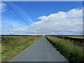
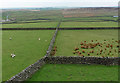
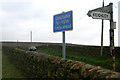
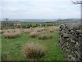
23 photos from this area
Area Information
Key information about the BD20 7BD including its size, population, and administrative classification.
- Area Type
- Postcode
- Area Size
- 2.1 km²
- Population
- 1922
- Population Density
- 214 people/km²
House Prices in BD20 7BD
11
Properties
£726,250
Average Sold Price
£382,500
Lowest Price
£1,070,000
Highest Price
Showing 11 properties
| Address | Type | Beds | Baths | Last Sale Price | Last Sale Date | |
|---|---|---|---|---|---|---|
| Low Buckstone Farm, Buck Stone Lane, Sutton In Craven, BD20 7BD | Detached | - | - | £1,070,000 | Jun 2025 | |
| Four Lane Ends Cottage, Buck Stone Lane, Sutton In Craven, BD20 7BD | house | - | - | £382,500 | May 2016 | |
| Little Craven Cottage, Buck Stone Lane, Sutton In Craven, BD20 7BD | Detached | 5 | - | - | - | |
| Cravenmoor Cottage, Buck Stone Lane, Sutton In Craven, BD20 7BD | Detached | - | - | - | - | |
| Maw View, Dick Lane To Four Lane Ends, Sutton In Craven, BD20 7BD | Detached | - | - | - | - | |
| New Bridge Farm, Dick Lane To Four Lane Ends, Sutton In Craven, BD20 7BD | Detached | - | - | - | - | |
| The Beauty Barn, Low Buckstone Farm, Buck Stone Lane, Sutton In Craven, BD20 7BD | Office | - | - | - | - | |
| Higher Buck Stone Farm, Buck Stone Lane, Sutton In Craven, BD20 7BD | Farm | - | - | - | - | |
| Land To Rear Of, Higher Buck Stone Farm, Buck Stone Lane, Sutton In Craven, BD20 7BD | Farm | - | - | - | - | |
| Cattery, Buck Stone Lane, Sutton In Craven, BD20 7BD | commercial | - | - | - | - |
Page 1 of 2
Energy Efficiency in BD20 7BD
Amenities
Schools
| Rank | School | Type | Entry gender | Ages |
|---|
Explore more schools in this area
Go to Schools tabDemographics
Household Size
Two person
most common
Accommodation Type
Houses
most common
Tenure
68
majority
Ethnic Group
White
most common
Religion
N/A
most common
Household Composition
N/A
most common
Age
47
median
Adults (30-64 years)
most common
Household Deprivation
N/A
with no deprivation
NS-SEC
34
in Lower managerial occupations
Explore more demographic insights in this area
Go to Demographics tabPlanning
Planning Constraints
- Flood RiskPremium
- Ramsar Wetland SitesPremium
- Area of Outstanding Natural BeautyPremium
- Protected Nature ReservePremium
- Protected WoodlandPremium