Area Overview for BD20 6QL
Photos of BD20 6QL
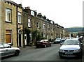
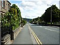
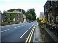
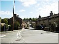
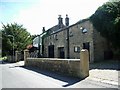
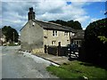
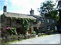
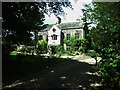
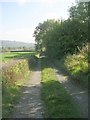
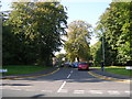
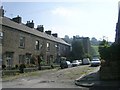
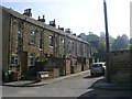
100 photos from this area
Area Information
Key information about the BD20 6QL including its size, population, and administrative classification.
- Area Type
- Postcode
- Area Size
- 2068 m²
- Population
- 1350
- Population Density
- 253 people/km²
House Prices in BD20 6QL
9
Properties
£157,378
Average Sold Price
£89,950
Lowest Price
£219,950
Highest Price
Showing 9 properties
| Address | Type | Beds | Baths | Last Sale Price | Last Sale Date | |
|---|---|---|---|---|---|---|
| 6 Cartmel Lane, Steeton With Eastburn, BD20 6QL | Terraced | 3 | 1 | £175,000 | Aug 2020 | |
| 18 Cartmel Lane, Steeton With Eastburn, BD20 6QL | Character Property | 4 | - | £219,950 | Nov 2018 | |
| 2 Cartmel Lane, Steeton With Eastburn, BD20 6QL | Terraced | 3 | 2 | £195,000 | Nov 2018 | |
| 4 Cartmel Lane, Steeton With Eastburn, BD20 6QL | Semi-detached | 2 | 1 | £157,000 | Oct 2018 | |
| 14 Cartmel Lane, Steeton With Eastburn, BD20 6QL | Semi-detached | 4 | 2 | £191,500 | Nov 2017 | |
| 16 Cartmel Lane, Steeton With Eastburn, BD20 6QL | Semi-detached | 3 | 1 | £130,000 | Jun 2015 | |
| 8 Cartmel Lane, Steeton With Eastburn, BD20 6QL | Detached | 3 | 2 | £164,000 | Jul 2003 | |
| 12 Cartmel Lane, Steeton With Eastburn, BD20 6QL | Terraced | - | - | £94,000 | Dec 2001 | |
| 10 Cartmel Lane, Steeton With Eastburn, BD20 6QL | house | - | - | £89,950 | May 2001 |
Energy Efficiency in BD20 6QL
Amenities
Schools
| Rank | School | Type | Entry gender | Ages |
|---|
Explore more schools in this area
Go to Schools tabDemographics
Household Size
One person
most common
Accommodation Type
Houses
most common
Tenure
69
majority
Ethnic Group
White
most common
Religion
N/A
most common
Household Composition
N/A
most common
Age
47
median
Adults (30-64 years)
most common
Household Deprivation
N/A
with no deprivation
NS-SEC
40
in Lower managerial occupations
Explore more demographic insights in this area
Go to Demographics tabPlanning
Planning Constraints
- Flood RiskPremium
- Ramsar Wetland SitesPremium
- Area of Outstanding Natural BeautyPremium
- Protected Nature ReservePremium
- Protected WoodlandPremium