Area Overview for BD20 5PB
Photos of BD20 5PB
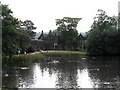
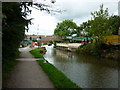
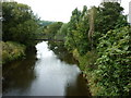
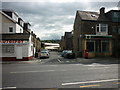
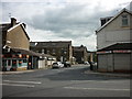
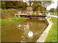
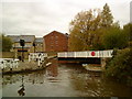
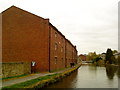
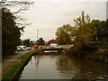
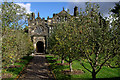
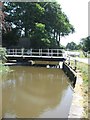
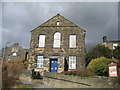
100 photos from this area
Area Information
Key information about the BD20 5PB including its size, population, and administrative classification.
- Area Type
- Postcode
- Area Size
- 6622 m²
- Population
- 1831
- Population Density
- 271 people/km²
House Prices in BD20 5PB
8
Properties
£232,667
Average Sold Price
£176,000
Lowest Price
£320,000
Highest Price
Showing 8 properties
| Address | Type | Beds | Baths | Last Sale Price | Last Sale Date | |
|---|---|---|---|---|---|---|
| 72 Banks Lane, Riddlesden, Keighley, BD20 5PB | Detached | 3 | 1 | £320,000 | Jun 2021 | |
| 74 Banks Lane, Riddlesden, Keighley, BD20 5PB | house | - | - | £245,000 | May 2021 | |
| 68 Banks Lane, Riddlesden, Keighley, BD20 5PB | Semi-detached | 3 | 1 | £176,000 | Jul 2019 | |
| 76 Banks Lane, Riddlesden, Keighley, BD20 5PB | house | - | - | £230,000 | Feb 2013 | |
| 56-58, Low Banks, Banks Lane, Riddlesden, Keighley, BD20 5PB | house | - | - | £177,500 | Nov 2012 | |
| 78 Banks Lane, Riddlesden, Keighley, BD20 5PB | house | - | - | £247,500 | Sep 2007 | |
| 80 Banks Lane, Riddlesden, Keighley, BD20 5PB | house | 4 | - | - | - | |
| 70 Banks Lane, Riddlesden, Keighley, BD20 5PB | house | - | - | - | - |
Energy Efficiency in BD20 5PB
Amenities
Schools
| Rank | School | Type | Entry gender | Ages |
|---|
Explore more schools in this area
Go to Schools tabDemographics
Household Size
Two person
most common
Accommodation Type
Houses
most common
Tenure
86
majority
Ethnic Group
White
most common
Religion
N/A
most common
Household Composition
N/A
most common
Age
47
median
Adults (30-64 years)
most common
Household Deprivation
N/A
with no deprivation
NS-SEC
41
in Lower managerial occupations
Explore more demographic insights in this area
Go to Demographics tabPlanning
Planning Constraints
- Flood RiskPremium
- Ramsar Wetland SitesPremium
- Area of Outstanding Natural BeautyPremium
- Protected Nature ReservePremium
- Protected WoodlandPremium