Area Overview for BD20 5NE
Photos of BD20 5NE

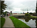
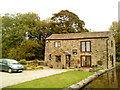
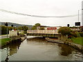
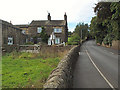
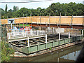
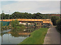
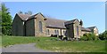


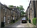
100 photos from this area
Area Information
Key information about the BD20 5NE including its size, population, and administrative classification.
- Area Type
- Postcode
- Area Size
- 5592 m²
- Population
- 2718
- Population Density
- 2002 people/km²
House Prices in BD20 5NE
14
Properties
£143,750
Average Sold Price
£50,000
Lowest Price
£235,000
Highest Price
Showing 14 properties
| Address | Type | Beds | Baths | Last Sale Price | Last Sale Date | |
|---|---|---|---|---|---|---|
| 12 Mount Pleasant, Sandbeds, Keighley, BD20 5NE | house | - | - | £235,000 | Apr 2023 | |
| 4 Mount Pleasant, Sandbeds, Keighley, BD20 5NE | Semi-detached | - | - | £70,000 | Nov 2022 | |
| 1 Mount Pleasant, Sandbeds, Keighley, BD20 5NE | Bungalow | - | - | £175,000 | Dec 2021 | |
| 13 Mount Pleasant, Sandbeds, Keighley, BD20 5NE | Semi-detached | 3 | 1 | £150,000 | Sep 2020 | |
| 3 Mount Pleasant, Sandbeds, Keighley, BD20 5NE | Bungalow | - | - | £139,500 | Oct 2016 | |
| 2 Mount Pleasant, Sandbeds, Keighley, BD20 5NE | Semi-detached | 2 | 1 | £154,000 | Nov 2015 | |
| 6 Mount Pleasant, Sandbeds, Keighley, BD20 5NE | Bungalow | 2 | - | £157,000 | May 2013 | |
| 8 Mount Pleasant, Sandbeds, Keighley, BD20 5NE | Bungalow | 2 | - | £142,000 | Mar 2013 | |
| 10 Mount Pleasant, Sandbeds, Keighley, BD20 5NE | Semi-detached | - | - | £165,000 | Mar 2007 | |
| 9 Mount Pleasant, Sandbeds, Keighley, BD20 5NE | Semi-detached | - | - | £50,000 | Feb 2001 |
Page 1 of 2
Energy Efficiency in BD20 5NE
Amenities
Schools
| Rank | School | Type | Entry gender | Ages |
|---|
Explore more schools in this area
Go to Schools tabDemographics
Household Size
Family (3-5 people)
most common
Accommodation Type
Houses
most common
Tenure
87
majority
Ethnic Group
White
most common
Religion
N/A
most common
Household Composition
N/A
most common
Age
47
median
Adults (30-64 years)
most common
Household Deprivation
N/A
with no deprivation
NS-SEC
40
in Lower managerial occupations
Explore more demographic insights in this area
Go to Demographics tabPlanning
Planning Constraints
- Flood RiskPremium
- Ramsar Wetland SitesPremium
- Area of Outstanding Natural BeautyPremium
- Protected Nature ReservePremium
- Protected WoodlandPremium