Area Overview for BD2 4JA
Photos of BD2 4JA
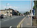
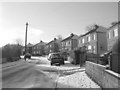
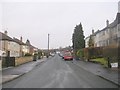
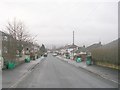
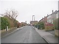
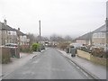
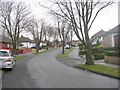
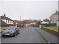
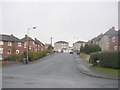
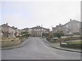
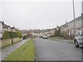
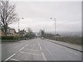
100 photos from this area
Area Information
Key information about the BD2 4JA including its size, population, and administrative classification.
- Area Type
- Postcode
- Area Size
- 2.1 hectares
- Population
- 1671
- Population Density
- 5589 people/km²
House Prices in BD2 4JA
44
Properties
£164,706
Average Sold Price
£75,000
Lowest Price
£332,000
Highest Price
Showing 44 properties
| Address | Type | Beds | Baths | Last Sale Price | Last Sale Date | |
|---|---|---|---|---|---|---|
| 27 Buttermere Road, Bradford, BD2 4JA | Detached | 5 | 3 | £332,000 | Mar 2025 | |
| 41 Buttermere Road, Bradford, BD2 4JA | Bungalow | 3 | 2 | £308,000 | Nov 2024 | |
| 49 Buttermere Road, Bradford, BD2 4JA | Bungalow | 3 | 1 | £190,000 | Mar 2023 | |
| 34 Buttermere Road, Bradford, BD2 4JA | Bungalow | - | - | £178,000 | Dec 2021 | |
| 29 Buttermere Road, Bradford, BD2 4JA | house | - | - | £250,000 | Oct 2021 | |
| 32 Buttermere Road, Bradford, BD2 4JA | Bungalow | 3 | 1 | £195,000 | Aug 2021 | |
| 8 Buttermere Road, Bradford, BD2 4JA | Bungalow | 4 | 2 | £140,000 | May 2021 | |
| 36 Buttermere Road, Bradford, BD2 4JA | Bungalow | 2 | 1 | £159,950 | Oct 2017 | |
| 23 Buttermere Road, Bradford, BD2 4JA | Bungalow | - | - | £190,000 | Sep 2017 | |
| 31 Buttermere Road, Bradford, BD2 4JA | Bungalow | 3 | - | £140,000 | Jul 2017 |
Page 1 of 5
Energy Efficiency in BD2 4JA
Amenities
Schools
| Rank | School | Type | Entry gender | Ages |
|---|
Explore more schools in this area
Go to Schools tabDemographics
Household Size
Two person
most common
Accommodation Type
Houses
most common
Tenure
85
majority
Ethnic Group
White
most common
Religion
N/A
most common
Household Composition
N/A
most common
Age
47
median
Adults (30-64 years)
most common
Household Deprivation
N/A
with no deprivation
NS-SEC
24
in Lower managerial occupations
Explore more demographic insights in this area
Go to Demographics tabPlanning
Planning Constraints
- Flood RiskPremium
- Ramsar Wetland SitesPremium
- Area of Outstanding Natural BeautyPremium
- Protected Nature ReservePremium
- Protected WoodlandPremium