Area Overview for BD2 3HS
Photos of BD2 3HS
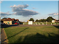
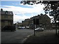

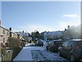
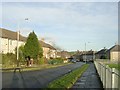
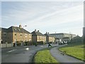
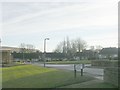
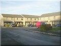
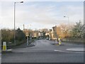
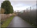
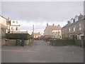
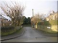
100 photos from this area
Area Information
Key information about the BD2 3HS including its size, population, and administrative classification.
- Area Type
- Postcode
- Area Size
- 1.2 hectares
- Population
- 1539
- Population Density
- 4385 people/km²
House Prices in BD2 3HS
46
Properties
£96,679
Average Sold Price
£32,000
Lowest Price
£210,000
Highest Price
Showing 46 properties
| Address | Type | Beds | Baths | Last Sale Price | Last Sale Date | |
|---|---|---|---|---|---|---|
| 398 Moorside Road, Eccleshill, Bradford, BD2 3HS | Semi-detached | 3 | 1 | £164,000 | Feb 2025 | |
| 404 Moorside Road, Eccleshill, Bradford, BD2 3HS | Semi-detached | 3 | 1 | £117,000 | Feb 2025 | |
| 336 Moorside Road, Eccleshill, Bradford, BD2 3HS | Terraced | 3 | 1 | £126,000 | Aug 2022 | |
| 372 Moorside Road, Eccleshill, Bradford, BD2 3HS | Retail | 3 | 1 | £152,000 | Jun 2022 | |
| 334 Moorside Road, Eccleshill, Bradford, BD2 3HS | house | - | - | £75,000 | May 2022 | |
| 360 Moorside Road, Eccleshill, Bradford, BD2 3HS | Semi-detached | 3 | 1 | £145,000 | Sep 2021 | |
| 322 Moorside Road, Eccleshill, Bradford, BD2 3HS | house | - | - | £96,500 | Jun 2021 | |
| 382 Moorside Road, Eccleshill, Bradford, BD2 3HS | house | - | - | £116,000 | May 2021 | |
| 312 Moorside Road, Eccleshill, Bradford, BD2 3HS | Terraced | 1 | 1 | £115,000 | May 2021 | |
| 362 Moorside Road, Eccleshill, Bradford, BD2 3HS | house | - | - | £132,000 | Dec 2020 |
Page 1 of 5
Energy Efficiency in BD2 3HS
Amenities
Schools
| Rank | School | Type | Entry gender | Ages |
|---|
Explore more schools in this area
Go to Schools tabDemographics
Household Size
Family (3-5 people)
most common
Accommodation Type
Houses
most common
Tenure
75
majority
Ethnic Group
White
most common
Religion
N/A
most common
Household Composition
N/A
most common
Age
47
median
Adults (30-64 years)
most common
Household Deprivation
N/A
with no deprivation
NS-SEC
26
in Lower managerial occupations
Explore more demographic insights in this area
Go to Demographics tabPlanning
Planning Constraints
- Flood RiskPremium
- Ramsar Wetland SitesPremium
- Area of Outstanding Natural BeautyPremium
- Protected Nature ReservePremium
- Protected WoodlandPremium