Area Overview for BD2 2EW
Photos of BD2 2EW
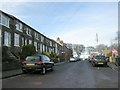
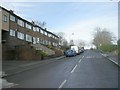
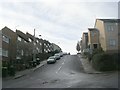
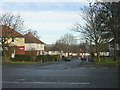
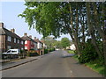
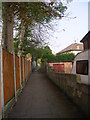
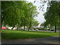
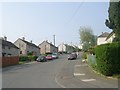
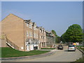
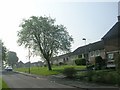
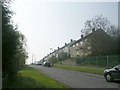
100 photos from this area
Area Information
Key information about the BD2 2EW including its size, population, and administrative classification.
- Area Type
- Postcode
- Area Size
- 8099 m²
- Population
- Not available
- Population Density
- Not available
House Prices in BD2 2EW
40
Properties
£100,318
Average Sold Price
£37,000
Lowest Price
£139,000
Highest Price
Showing 40 properties
| Address | Type | Beds | Baths | Last Sale Price | Last Sale Date | |
|---|---|---|---|---|---|---|
| 83A Stone Hall Road, Bradford, BD2 2EW | Terraced | 6 | 5 | £137,000 | Oct 2024 | |
| 79 Stone Hall Road, Bradford, BD2 2EW | Terraced | 2 | 1 | £108,000 | Aug 2024 | |
| 93 Stone Hall Road, Bradford, BD2 2EW | Flat | 5 | 5 | £139,000 | Jun 2024 | |
| 83 Stone Hall Road, Bradford, BD2 2EW | Terraced | 6 | 3 | £80,000 | Nov 2022 | |
| 81 Stone Hall Road, Bradford, BD2 2EW | Retail | 2 | 1 | £80,000 | Sep 2022 | |
| 79A Stone Hall Road, Bradford, BD2 2EW | Terraced | 2 | 1 | £85,000 | Apr 2019 | |
| 85A Stone Hall Road, Bradford, BD2 2EW | house | 1 | 1 | £74,500 | Aug 2010 | |
| 77 Stone Hall Road, Bradford, BD2 2EW | house | - | - | £90,000 | Sep 2009 | |
| 73 Stone Hall Road, Bradford, BD2 2EW | Terraced | - | - | £138,000 | Apr 2007 | |
| 75 Stone Hall Road, Bradford, BD2 2EW | house | 2 | - | £135,000 | Jul 2004 |
Page 1 of 4
Energy Efficiency in BD2 2EW
Amenities
Schools
| Rank | School | Type | Entry gender | Ages |
|---|
Explore more schools in this area
Go to Schools tabDemographics
Household Size
One person
most common
Accommodation Type
Houses
most common
Tenure
63
majority
Ethnic Group
White
most common
Religion
N/A
most common
Household Composition
N/A
most common
Age
47
median
Adults (30-64 years)
most common
Household Deprivation
N/A
with no deprivation
NS-SEC
24
in Lower managerial occupations
Explore more demographic insights in this area
Go to Demographics tabPlanning
Planning Constraints
- Flood RiskPremium
- Ramsar Wetland SitesPremium
- Area of Outstanding Natural BeautyPremium
- Protected Nature ReservePremium
- Protected WoodlandPremium