Area Overview for BD2 2AB
Photos of BD2 2AB
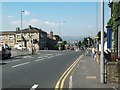
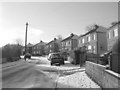
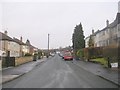
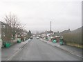
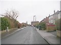
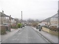
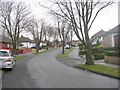
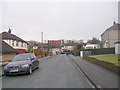
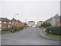
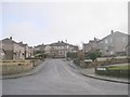
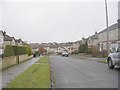
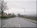
100 photos from this area
Area Information
Key information about the BD2 2AB including its size, population, and administrative classification.
- Area Type
- Postcode
- Area Size
- 1.6 hectares
- Population
- Not available
- Population Density
- Not available
House Prices in BD2 2AB
40
Properties
£167,914
Average Sold Price
£88,500
Lowest Price
£292,000
Highest Price
Showing 40 properties
| Address | Type | Beds | Baths | Last Sale Price | Last Sale Date | |
|---|---|---|---|---|---|---|
| 20 Bolton Drive, Bradford, BD2 2AB | Semi-detached | 4 | 2 | £292,000 | Feb 2025 | |
| 19 Bolton Drive, Bradford, BD2 2AB | Retail | 3 | 1 | £210,000 | May 2024 | |
| 51 Bolton Drive, Bradford, BD2 2AB | Semi-detached | 3 | 1 | £227,000 | Oct 2023 | |
| 36 Bolton Drive, Bradford, BD2 2AB | Semi-detached | 3 | 1 | £230,000 | Mar 2023 | |
| 21 Bolton Drive, Bradford, BD2 2AB | house | - | - | £230,000 | Aug 2022 | |
| 56 Bolton Drive, Bradford, BD2 2AB | Bungalow | 3 | 1 | £171,000 | Oct 2019 | |
| 42 Bolton Drive, Bradford, BD2 2AB | Semi-detached | 4 | 2 | £170,000 | Jul 2019 | |
| 22 Bolton Drive, Bradford, BD2 2AB | Semi-detached | 3 | 1 | £185,000 | Aug 2018 | |
| 58 Bolton Drive, Bradford, BD2 2AB | Bungalow | 2 | 1 | £137,000 | May 2018 | |
| 32 Bolton Drive, Bradford, BD2 2AB | Semi-detached | 3 | 1 | £169,000 | Apr 2018 |
Page 1 of 4
Energy Efficiency in BD2 2AB
Amenities
Schools
| Rank | School | Type | Entry gender | Ages |
|---|
Explore more schools in this area
Go to Schools tabDemographics
Household Size
Family (3-5 people)
most common
Accommodation Type
Houses
most common
Tenure
82
majority
Ethnic Group
White
most common
Religion
N/A
most common
Household Composition
N/A
most common
Age
47
median
Adults (30-64 years)
most common
Household Deprivation
N/A
with no deprivation
NS-SEC
25
in Lower managerial occupations
Explore more demographic insights in this area
Go to Demographics tabPlanning
Planning Constraints
- Flood RiskPremium
- Ramsar Wetland SitesPremium
- Area of Outstanding Natural BeautyPremium
- Protected Nature ReservePremium
- Protected WoodlandPremium