Area Overview for BD19 6LY
Photos of BD19 6LY
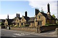

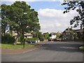
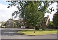
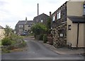
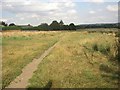
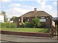
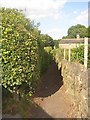
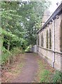
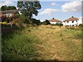


100 photos from this area
Area Information
Key information about the BD19 6LY including its size, population, and administrative classification.
- Area Type
- Postcode
- Area Size
- 28.0 hectares
- Population
- 1686
- Population Density
- 1660 people/km²
House Prices in BD19 6LY
60
Properties
£318,098
Average Sold Price
£55,000
Lowest Price
£1,225,000
Highest Price
Showing 60 properties
| Address | Type | Beds | Baths | Last Sale Price | Last Sale Date | |
|---|---|---|---|---|---|---|
| 101 Scholes Lane, Scholes, Cleckheaton, BD19 6LY | Terraced | 2 | 1 | £220,000 | Jul 2025 | |
| 149 Scholes Lane, Scholes, Cleckheaton, BD19 6LY | house | 4 | 4 | £680,000 | Aug 2024 | |
| 53 Scholes Lane, Scholes, Cleckheaton, BD19 6LY | house | 4 | 3 | £495,000 | Jul 2024 | |
| 91 Scholes Lane, Scholes, Cleckheaton, BD19 6LY | Terraced | 2 | 1 | £176,000 | Jul 2024 | |
| 83 Scholes Lane, Scholes, Cleckheaton, BD19 6LY | Terraced | 2 | 1 | £190,000 | May 2024 | |
| 111 Scholes Lane, Scholes, Cleckheaton, BD19 6LY | Detached | 5 | 3 | £550,000 | May 2024 | |
| 155 Scholes Lane, Scholes, Cleckheaton, BD19 6LY | house | - | - | £765,000 | Sep 2023 | |
| 153 Scholes Lane, Scholes, Cleckheaton, BD19 6LY | house | - | - | £740,000 | Jul 2023 | |
| 87 Scholes Lane, Scholes, Cleckheaton, BD19 6LY | Terraced | 2 | 1 | £180,000 | Jun 2023 | |
| 75 Scholes Lane, Scholes, Cleckheaton, BD19 6LY | Terraced | 2 | 1 | £230,000 | Dec 2022 |
Page 1 of 6
Energy Efficiency in BD19 6LY
Amenities
Schools
| Rank | School | Type | Entry gender | Ages |
|---|
Explore more schools in this area
Go to Schools tabDemographics
Household Size
Two person
most common
Accommodation Type
Houses
most common
Tenure
58
majority
Ethnic Group
White
most common
Religion
N/A
most common
Household Composition
N/A
most common
Age
47
median
Adults (30-64 years)
most common
Household Deprivation
N/A
with no deprivation
NS-SEC
30
in Lower managerial occupations
Explore more demographic insights in this area
Go to Demographics tabPlanning
Planning Constraints
- Flood RiskPremium
- Ramsar Wetland SitesPremium
- Area of Outstanding Natural BeautyPremium
- Protected Nature ReservePremium
- Protected WoodlandPremium