Area Overview for BD19 4DE
Photos of BD19 4DE
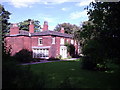
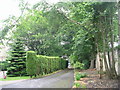
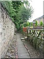
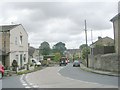
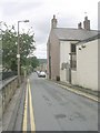
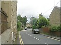
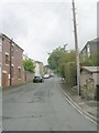
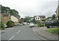
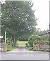

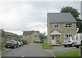
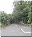
100 photos from this area
Area Information
Key information about the BD19 4DE including its size, population, and administrative classification.
- Area Type
- Postcode
- Area Size
- 2.3 hectares
- Population
- Not available
- Population Density
- Not available
House Prices in BD19 4DE
18
Properties
£272,778
Average Sold Price
£87,000
Lowest Price
£412,500
Highest Price
Showing 18 properties
| Address | Type | Beds | Baths | Last Sale Price | Last Sale Date | |
|---|---|---|---|---|---|---|
| 10 Latham Court, Gomersal, Cleckheaton, BD19 4DE | Bungalow | 3 | 1 | £400,000 | Feb 2024 | |
| 20 Latham Court, Gomersal, Cleckheaton, BD19 4DE | Detached | 4 | 3 | £300,000 | Jul 2018 | |
| 1A Latham Court, Gomersal, Cleckheaton, BD19 4DE | house | - | - | £412,500 | Jul 2018 | |
| 16 Latham Court, Gomersal, Cleckheaton, BD19 4DE | Detached | - | - | £265,000 | Oct 2015 | |
| 9 Latham Court, Gomersal, Cleckheaton, BD19 4DE | Detached | 3 | - | £205,000 | Jul 2015 | |
| 11 Latham Court, Gomersal, Cleckheaton, BD19 4DE | Detached | 4 | - | £208,000 | Feb 2015 | |
| 4 Latham Court, Gomersal, Cleckheaton, BD19 4DE | Detached | - | - | £282,500 | Dec 2012 | |
| 14 Latham Court, Gomersal, Cleckheaton, BD19 4DE | Bungalow | - | - | £295,000 | Jul 2012 | |
| 7 Latham Court, Gomersal, Cleckheaton, BD19 4DE | Detached | - | - | £87,000 | Aug 1999 | |
| 12 Latham Court, Gomersal, Cleckheaton, BD19 4DE | Bungalow | - | - | - | - |
Page 1 of 2
Energy Efficiency in BD19 4DE
Amenities
Schools
| Rank | School | Type | Entry gender | Ages |
|---|
Explore more schools in this area
Go to Schools tabDemographics
Household Size
Two person
most common
Accommodation Type
Houses
most common
Tenure
82
majority
Ethnic Group
White
most common
Religion
N/A
most common
Household Composition
N/A
most common
Age
47
median
Adults (30-64 years)
most common
Household Deprivation
N/A
with no deprivation
NS-SEC
46
in Lower managerial occupations
Explore more demographic insights in this area
Go to Demographics tabPlanning
Planning Constraints
- Flood RiskPremium
- Ramsar Wetland SitesPremium
- Area of Outstanding Natural BeautyPremium
- Protected Nature ReservePremium
- Protected WoodlandPremium