Area Overview for BD19 3TX
Photos of BD19 3TX
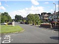
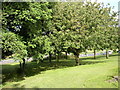
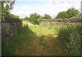
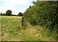

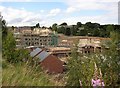

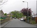
100 photos from this area
Area Information
Key information about the BD19 3TX including its size, population, and administrative classification.
- Area Type
- Postcode
- Area Size
- 6348 m²
- Population
- 1670
- Population Density
- 4024 people/km²
House Prices in BD19 3TX
17
Properties
£98,723
Average Sold Price
£36,000
Lowest Price
£150,000
Highest Price
Showing 17 properties
| Address | Type | Beds | Baths | Last Sale Price | Last Sale Date | |
|---|---|---|---|---|---|---|
| 8 Farfield Street, Cleckheaton, BD19 3TX | Terraced | 1 | 1 | £103,000 | Apr 2024 | |
| 14 Farfield Street, Cleckheaton, BD19 3TX | house | 2 | 1 | £126,000 | Jun 2023 | |
| 19 Farfield Street, Cleckheaton, BD19 3TX | house | - | - | £150,000 | Feb 2022 | |
| 12 Farfield Street, Cleckheaton, BD19 3TX | Terraced | 2 | 1 | £114,000 | Feb 2022 | |
| 25 Farfield Street, Cleckheaton, BD19 3TX | house | - | - | £140,000 | Nov 2020 | |
| 10 Farfield Street, Cleckheaton, BD19 3TX | house | - | - | £80,000 | Nov 2018 | |
| 17 Farfield Street, Cleckheaton, BD19 3TX | house | - | - | £100,000 | Sep 2012 | |
| 6 Farfield Street, Cleckheaton, BD19 3TX | house | - | - | £75,000 | Jul 2010 | |
| 4 Farfield Street, Cleckheaton, BD19 3TX | Terraced | 2 | 1 | £104,000 | Dec 2007 | |
| 2 Farfield Street, Cleckheaton, BD19 3TX | house | - | - | £57,950 | Jul 2004 |
Page 1 of 2
Energy Efficiency in BD19 3TX
Amenities
Schools
| Rank | School | Type | Entry gender | Ages |
|---|
Explore more schools in this area
Go to Schools tabDemographics
Household Size
One person
most common
Accommodation Type
Houses
most common
Tenure
39
majority
Ethnic Group
White
most common
Religion
N/A
most common
Household Composition
N/A
most common
Age
47
median
Adults (30-64 years)
most common
Household Deprivation
N/A
with no deprivation
NS-SEC
23
in Lower managerial occupations
Explore more demographic insights in this area
Go to Demographics tabPlanning
Planning Constraints
- Flood RiskPremium
- Ramsar Wetland SitesPremium
- Area of Outstanding Natural BeautyPremium
- Protected Nature ReservePremium
- Protected WoodlandPremium