Area Overview for BD19 3AQ
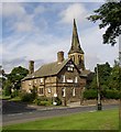
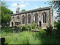
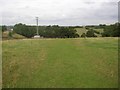
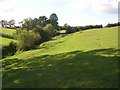
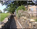
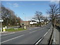
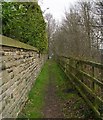
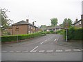
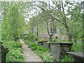
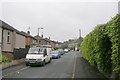
Photos of BD19 3AQ
Area Information
Living in BD19 3AQ means inhabiting a tightly packed residential cluster in West Yorkshire, where 1,619 people reside across just 13.3 hectares. This density creates a compact, community-oriented environment, typical of small towns in the Spen Valley. The area’s history is rooted in textile manufacturing, a legacy that still shapes its identity. With a median age of 47, the population skews toward adults aged 30–64, suggesting a stable, family-focused demographic. Daily life here is likely defined by proximity to local amenities and a mix of traditional and modern influences. The high home ownership rate (69%) indicates a settled community, though the area’s small size means residents may rely on nearby towns for broader services. BD19 3AQ’s location at the heart of the Spen Valley offers a blend of historical character and practical connectivity, making it a viable choice for those seeking a close-knit environment without complete isolation from urban centres.
- Area Type
- Postcode
- Area Size
- 13.3 hectares
- Population
- 1619
- Population Density
- 3235 people/km²
The property market in BD19 3AQ is characterised by a high rate of home ownership (69%) and a focus on houses rather than flats or apartments. This suggests a market primarily serving owner-occupiers, with limited rental activity implied by the lack of data on tenancy rates. The small area size and compact layout may mean properties are closely spaced, potentially limiting availability for buyers seeking larger homes. Given the high population density, the housing stock is likely to be older, reflecting the area’s historical industrial roots. For buyers, this means a focus on established properties rather than new developments. The lack of specific data on property prices or recent sales trends means the market’s competitiveness cannot be assessed, but the owner-occupied nature of the area may indicate a stable, long-term buyer base.
House Prices in BD19 3AQ
No properties found in this postcode.
Energy Efficiency in BD19 3AQ
Residents of BD19 3AQ have access to nearby retail outlets including Tesco Cleckheaton, Spar Cleckheaton, and Heron Cleckheaton, offering essential shopping within practical reach. The area’s rail connections to Low Moor, Brighouse, and Deighton stations provide links to broader regional networks, though the absence of direct rail services from BD19 3AQ itself may require additional travel. The compact nature of the area means amenities are likely clustered closely, enhancing convenience for daily errands. While parks or leisure facilities are not explicitly named in the data, the historical presence of industrial sites and the town’s location in the Spen Valley may offer informal green spaces for recreation. The combination of retail access and rail connectivity supports a lifestyle balancing local convenience with regional mobility.
Amenities
Schools
Nearby schools in BD19 3AQ include Heaton Avenue Primary School, West End Middle School, Whitcliffe Mount School, and Whitcliffe Mount, A Share Academy. Heaton Avenue, A Share Primary Academy has an Ofsted rating of satisfactory, while others are either primary or academy schools. The mix of primary and academy institutions offers families a range of educational options, though the absence of secondary schools suggests reliance on nearby towns for higher education. The presence of multiple schools within the area indicates a focus on local schooling, which may appeal to families prioritising convenience. However, the Ofsted rating for one school highlights the need for prospective parents to investigate further into teaching quality and facilities.
| Rank | School | Type | Entry gender | Ages |
|---|
Explore more schools in this area
Go to Schools tabDemographics
BD19 3AQ’s population of 1,619 is concentrated in a 13.3-hectare area, resulting in a population density of 12,144 people per square kilometre. The median age of 47 suggests a mature community, with the majority of residents aged between 30 and 64. This age range implies a mix of established families and professionals, though the data does not specify the presence of younger or older demographics. Home ownership is high at 69%, with houses being the predominant accommodation type. The predominant ethnic group is White, though no further breakdown of diversity is provided. The absence of specific data on deprivation or income levels means the area’s quality of life cannot be fully assessed, but the high home ownership rate suggests a degree of economic stability. For buyers, this profile indicates a community likely prioritising long-term residency over transient living.
Household Size
Accommodation Type
Tenure
Ethnic Group
Religion
Household Composition
Age
Household Deprivation
NS-SEC
Explore more demographic insights in this area
Go to Demographics tabPlanning
Planning Constraints
- Flood RiskPremium
- Ramsar Wetland SitesPremium
- Area of Outstanding Natural BeautyPremium
- Protected Nature ReservePremium
- Protected WoodlandPremium