Area Overview for BD13 1QT
Photos of BD13 1QT

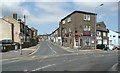
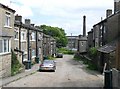
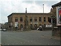
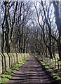
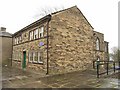
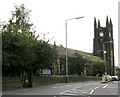
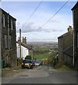
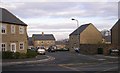
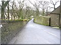
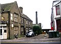
100 photos from this area
Area Information
Key information about the BD13 1QT including its size, population, and administrative classification.
- Area Type
- Postcode
- Area Size
- 6798 m²
- Population
- 1801
- Population Density
- 2001 people/km²
House Prices in BD13 1QT
13
Properties
£224,850
Average Sold Price
£90,500
Lowest Price
£313,500
Highest Price
Showing 13 properties
| Address | Type | Beds | Baths | Last Sale Price | Last Sale Date | |
|---|---|---|---|---|---|---|
| 1 Langport Close, Queensbury, Bradford, BD13 1QT | Detached | 4 | 2 | £295,000 | Jan 2024 | |
| 12 Langport Close, Queensbury, Bradford, BD13 1QT | house | 3 | 1 | £233,500 | Sep 2020 | |
| 3 Langport Close, Queensbury, Bradford, BD13 1QT | Detached | 4 | 2 | £249,000 | Mar 2020 | |
| 10 Langport Close, Queensbury, Bradford, BD13 1QT | Detached | 4 | 2 | £300,000 | Feb 2019 | |
| 14 Langport Close, Queensbury, Bradford, BD13 1QT | Detached | 4 | 2 | £313,500 | Jun 2018 | |
| 5 Langport Close, Queensbury, Bradford, BD13 1QT | house | - | - | £242,000 | Jul 2015 | |
| 6 Langport Close, Queensbury, Bradford, BD13 1QT | Detached | 4 | 2 | £238,000 | Nov 2013 | |
| 11 Langport Close, Queensbury, Bradford, BD13 1QT | Detached | - | - | £184,000 | Jul 2009 | |
| 2 Langport Close, Queensbury, Bradford, BD13 1QT | Detached | - | - | £90,500 | Dec 1999 | |
| 9 Langport Close, Queensbury, Bradford, BD13 1QT | Detached | - | - | £103,000 | Jul 1997 |
Page 1 of 2
Energy Efficiency in BD13 1QT
Amenities
Schools
| Rank | School | Type | Entry gender | Ages |
|---|
Explore more schools in this area
Go to Schools tabDemographics
Household Size
Family (3-5 people)
most common
Accommodation Type
Houses
most common
Tenure
74
majority
Ethnic Group
White
most common
Religion
N/A
most common
Household Composition
N/A
most common
Age
47
median
Adults (30-64 years)
most common
Household Deprivation
N/A
with no deprivation
NS-SEC
37
in Lower managerial occupations
Explore more demographic insights in this area
Go to Demographics tabPlanning
Planning Constraints
- Flood RiskPremium
- Ramsar Wetland SitesPremium
- Area of Outstanding Natural BeautyPremium
- Protected Nature ReservePremium
- Protected WoodlandPremium