Area Overview for BD12 0SG
Photos of BD12 0SG
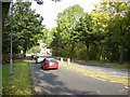
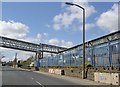
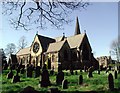
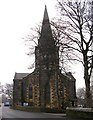
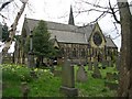
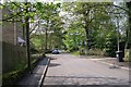
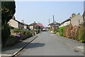
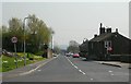
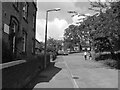
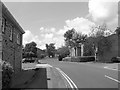
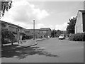
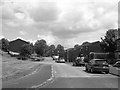
100 photos from this area
Area Information
Key information about the BD12 0SG including its size, population, and administrative classification.
- Area Type
- Postcode
- Area Size
- 1.4 hectares
- Population
- 1525
- Population Density
- 3548 people/km²
House Prices in BD12 0SG
12
Properties
-
Average Sold Price
-
Lowest Price
-
Highest Price
Showing 12 properties
| Address | Type | Beds | Baths | Last Sale Price | Last Sale Date | |
|---|---|---|---|---|---|---|
| Norman Littlewood & Sons, Unit 2D, Hanworth Road, Bradford, BD12 0SG | Office | - | - | - | - | |
| Norman Littlewood & Sons (properties), Unit 2B, Hanworth Road, Bradford, BD12 0SG | Office | - | - | - | - | |
| Norman Littlewood & Sons (properties), Unit 2A, Hanworth Road, Bradford, BD12 0SG | Office | - | - | - | - | |
| Norman Littlewood & Sons (properties), Unit 2C, Hanworth Road, Bradford, BD12 0SG | Office | - | - | - | - | |
| Scm Rooftech, Former Unit 4, Hanworth Court, Hanworth Road, Bradford, BD12 0SG | office_workshop | - | - | - | - | |
| Bar Products And Services Limited, Former Unit 2 And Offices, Hanworth Court, Hanworth Road, Bradford, BD12 0SG | storage_distribution | - | - | - | - | |
| Sash Timber Windows, Former Unit 1, Hanworth Court, Hanworth Road, Bradford, BD12 0SG | office_workshop | - | - | - | - | |
| Hallmark, Former Unit 3, Hanworth Court, Hanworth Road, Bradford, BD12 0SG | retail_financial | - | - | - | - | |
| Former Unit 1D, Hanworth Road, Bradford, BD12 0SG | Industrial | - | - | - | - | |
| Cooper Haigh Smith Bespoke Upholstery, Pennine Autos, Hanworth Road, Bradford, BD12 0SG | Industrial | - | - | - | - |
Page 1 of 2
Energy Efficiency in BD12 0SG
Amenities
Schools
| Rank | School | Type | Entry gender | Ages |
|---|
Explore more schools in this area
Go to Schools tabDemographics
Household Size
Two person
most common
Accommodation Type
Houses
most common
Tenure
76
majority
Ethnic Group
White
most common
Religion
N/A
most common
Household Composition
N/A
most common
Age
47
median
Adults (30-64 years)
most common
Household Deprivation
N/A
with no deprivation
NS-SEC
26
in Lower managerial occupations
Explore more demographic insights in this area
Go to Demographics tabPlanning
Planning Constraints
- Flood RiskPremium
- Ramsar Wetland SitesPremium
- Area of Outstanding Natural BeautyPremium
- Protected Nature ReservePremium
- Protected WoodlandPremium