Area Overview for BD11 2LQ
Photos of BD11 2LQ
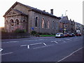
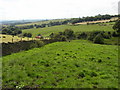
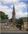
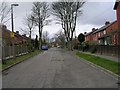
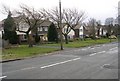
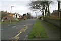
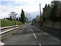
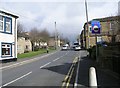
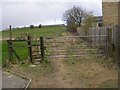
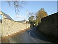
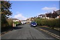
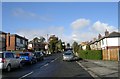
100 photos from this area
Area Information
Key information about the BD11 2LQ including its size, population, and administrative classification.
- Area Type
- Postcode
- Area Size
- 6232 m²
- Population
- 1262
- Population Density
- 4222 people/km²
House Prices in BD11 2LQ
19
Properties
£159,637
Average Sold Price
£56,000
Lowest Price
£277,500
Highest Price
Showing 19 properties
| Address | Type | Beds | Baths | Last Sale Price | Last Sale Date | |
|---|---|---|---|---|---|---|
| 77 Whitehall Road East, Birkenshaw, Bradford, BD11 2LQ | Semi-detached | 3 | 1 | £277,500 | Jul 2025 | |
| 97 Whitehall Road East, Birkenshaw, Bradford, BD11 2LQ | house | - | - | £204,000 | Oct 2021 | |
| 83 Whitehall Road East, Birkenshaw, Bradford, BD11 2LQ | house | - | - | £166,000 | Jan 2019 | |
| 81 Whitehall Road East, Birkenshaw, Bradford, BD11 2LQ | Semi-detached | 3 | 1 | £156,000 | Jun 2017 | |
| 75 Whitehall Road East, Birkenshaw, Bradford, BD11 2LQ | Semi-detached | 3 | 1 | £148,000 | Oct 2016 | |
| 101 Whitehall Road East, Birkenshaw, Bradford, BD11 2LQ | Semi-detached | 3 | - | £170,000 | May 2008 | |
| 103 Whitehall Road East, Birkenshaw, Bradford, BD11 2LQ | Semi-detached | - | - | £150,505 | Mar 2007 | |
| 85 Whitehall Road East, Birkenshaw, Bradford, BD11 2LQ | house | - | - | £135,000 | Feb 2007 | |
| 87 Whitehall Road East, Birkenshaw, Bradford, BD11 2LQ | Semi-detached | - | - | £149,000 | Jul 2004 | |
| 93 Whitehall Road East, Birkenshaw, Bradford, BD11 2LQ | Semi-detached | - | - | £144,000 | Jun 2004 |
Page 1 of 2
Energy Efficiency in BD11 2LQ
Amenities
Schools
| Rank | School | Type | Entry gender | Ages |
|---|
Explore more schools in this area
Go to Schools tabDemographics
Household Size
Family (3-5 people)
most common
Accommodation Type
Houses
most common
Tenure
73
majority
Ethnic Group
White
most common
Religion
N/A
most common
Household Composition
N/A
most common
Age
47
median
Adults (30-64 years)
most common
Household Deprivation
N/A
with no deprivation
NS-SEC
31
in Lower managerial occupations
Explore more demographic insights in this area
Go to Demographics tabPlanning
Planning Constraints
- Flood RiskPremium
- Ramsar Wetland SitesPremium
- Area of Outstanding Natural BeautyPremium
- Protected Nature ReservePremium
- Protected WoodlandPremium