Area Overview for BD10 0LU
Photos of BD10 0LU
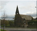
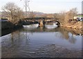
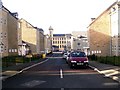
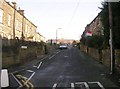
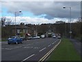
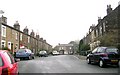
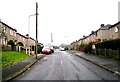
100 photos from this area
Area Information
Key information about the BD10 0LU including its size, population, and administrative classification.
- Area Type
- Postcode
- Area Size
- 1389 m²
- Population
- 1954
- Population Density
- 4727 people/km²
House Prices in BD10 0LU
8
Properties
£136,624
Average Sold Price
£40,500
Lowest Price
£217,500
Highest Price
Showing 8 properties
| Address | Type | Beds | Baths | Last Sale Price | Last Sale Date | |
|---|---|---|---|---|---|---|
| 2, Derby Terrace, Harrogate Road, Bradford, BD10 0LU | Terraced | 3 | 2 | £217,500 | Apr 2024 | |
| 8, Derby Terrace, Harrogate Road, Bradford, BD10 0LU | Terraced | 2 | 1 | £158,500 | Jan 2017 | |
| 6, Derby Terrace, Harrogate Road, Bradford, BD10 0LU | house | 2 | - | £129,995 | Jul 2004 | |
| 12, Derby Terrace, Harrogate Road, Bradford, BD10 0LU | Terraced | 3 | - | £40,500 | Jun 1999 | |
| 16, Derby Terrace, Harrogate Road, Bradford, BD10 0LU | house | 3 | - | - | - | |
| 4, Derby Terrace, Harrogate Road, Bradford, BD10 0LU | Terraced | - | - | - | - | |
| 14, Derby Terrace, Harrogate Road, Bradford, BD10 0LU | Terraced | - | - | - | - | |
| 10, Derby Terrace, Harrogate Road, Bradford, BD10 0LU | Terraced | - | - | - | - |
Energy Efficiency in BD10 0LU
Amenities
Schools
| Rank | School | Type | Entry gender | Ages |
|---|
Explore more schools in this area
Go to Schools tabDemographics
Household Size
Two person
most common
Accommodation Type
Houses
most common
Tenure
73
majority
Ethnic Group
White
most common
Religion
N/A
most common
Household Composition
N/A
most common
Age
47
median
Adults (30-64 years)
most common
Household Deprivation
N/A
with no deprivation
NS-SEC
43
in Lower managerial occupations
Explore more demographic insights in this area
Go to Demographics tabPlanning
Planning Constraints
- Flood RiskPremium
- Ramsar Wetland SitesPremium
- Area of Outstanding Natural BeautyPremium
- Protected Nature ReservePremium
- Protected WoodlandPremium