Area Overview for TR5 0SR
Photos of TR5 0SR
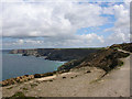
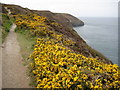
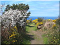
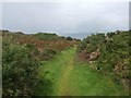
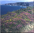
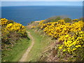
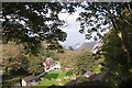
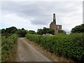
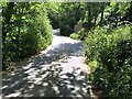
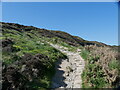
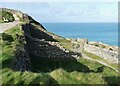
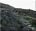
42 photos from this area
Area Information
Key information about the TR5 0SR including its size, population, and administrative classification.
- Area Type
- Postcode
- Area Size
- 3.4 hectares
- Population
- 1311
- Population Density
- 1128 people/km²
House Prices in TR5 0SR
9
Properties
£551,491
Average Sold Price
£250,000
Lowest Price
£975,000
Highest Price
Showing 9 properties
| Address | Type | Beds | Baths | Last Sale Price | Last Sale Date | |
|---|---|---|---|---|---|---|
| Kuffi, Wheal Friendly Lane, St Agnes, TR5 0SR | Detached | 5 | 2 | £975,000 | Oct 2023 | |
| Rowner, Wheal Friendly Lane, St Agnes, TR5 0SR | Bungalow | 3 | - | £850,000 | Nov 2020 | |
| Enys Bank, Wheal Friendly Lane, St Agnes, TR5 0SR | house | - | - | £467,448 | Mar 2015 | |
| Tregosse, Wheal Friendly Lane, St Agnes, TR5 0SR | Bungalow | 2 | - | £450,000 | Oct 2010 | |
| Roughwood Cottage, Wheal Friendly Lane, St Agnes, TR5 0SR | Detached | - | - | £316,500 | Jun 2008 | |
| Sea Breezes, Wheal Friendly Lane, St Agnes, TR5 0SR | Detached | - | - | £250,000 | Aug 2003 | |
| The Old Changing House, Wheal Friendly Lane, St Agnes, TR5 0SR | house | - | - | - | - | |
| The Annexe, Kuffi, Wheal Friendly Lane, St Agnes, TR5 0SR | Bungalow | - | - | - | - | |
| Tanglyn, Wheal Friendly Lane, St Agnes, TR5 0SR | Detached | - | - | - | - |
Energy Efficiency in TR5 0SR
Amenities
Schools
| Rank | School | Type | Entry gender | Ages |
|---|
Explore more schools in this area
Go to Schools tabDemographics
Household Size
One person
most common
Accommodation Type
Houses
most common
Tenure
61
majority
Ethnic Group
White
most common
Religion
N/A
most common
Household Composition
N/A
most common
Age
47
median
Adults (30-64 years)
most common
Household Deprivation
N/A
with no deprivation
NS-SEC
43
in Lower managerial occupations
Explore more demographic insights in this area
Go to Demographics tabPlanning
Planning Constraints
- Flood RiskPremium
- Ramsar Wetland SitesPremium
- Area of Outstanding Natural BeautyPremium
- Protected Nature ReservePremium
- Protected WoodlandPremium