Area Overview for TR26 3AA
Photos of TR26 3AA

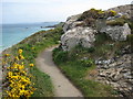
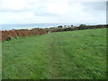
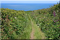
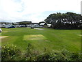
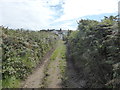
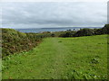
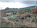
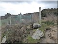
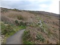
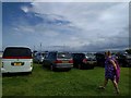
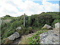
45 photos from this area
Area Information
Key information about the TR26 3AA including its size, population, and administrative classification.
- Area Type
- Postcode
- Area Size
- 5.9 hectares
- Population
- 1186
- Population Density
- 20256 people/km²
House Prices in TR26 3AA
49
Properties
£450,000
Average Sold Price
£95,000
Lowest Price
£850,000
Highest Price
Showing 49 properties
| Address | Type | Beds | Baths | Last Sale Price | Last Sale Date | |
|---|---|---|---|---|---|---|
| Spindrift, Burthallan Lane, St Ives, TR26 3AA | Detached | 1 | 1 | £275,000 | Jul 2022 | |
| Ennys, Burthallan Lane, St Ives, TR26 3AA | Detached | 5 | 3 | £560,000 | Dec 2018 | |
| The Reach, Burthallan Lane, St Ives, TR26 3AA | Detached | 5 | 3 | £275,000 | Sep 2017 | |
| Senara, Burthallan Lane, St Ives, TR26 3AA | Retail | 1 | 1 | £690,000 | Feb 2016 | |
| Highfield, Burthallan Lane, St Ives, TR26 3AA | Detached | 8 | 5 | £850,000 | Dec 2015 | |
| Hayeswood, Burthallan Lane, St Ives, TR26 3AA | house | - | - | £420,000 | Jul 2015 | |
| Treventon, Burthallan Lane, St Ives, TR26 3AA | house | 7 | - | £770,000 | May 2012 | |
| Little Mead, Burthallan Lane, St Ives, TR26 3AA | house | 3 | - | £425,000 | Apr 2012 | |
| Liskernick, Burthallan Lane, St Ives, TR26 3AA | Detached | - | - | £95,000 | Jun 1999 | |
| Carnello House, Burthallan Lane, St Ives, TR26 3AA | Detached | 5 | 3 | £140,000 | Apr 1999 |
Page 1 of 5
Energy Efficiency in TR26 3AA
Amenities
Schools
| Rank | School | Type | Entry gender | Ages |
|---|
Explore more schools in this area
Go to Schools tabDemographics
Household Size
Two person
most common
Accommodation Type
Houses
most common
Tenure
77
majority
Ethnic Group
White
most common
Religion
N/A
most common
Household Composition
N/A
most common
Age
47
median
Adults (30-64 years)
most common
Household Deprivation
N/A
with no deprivation
NS-SEC
28
in Lower managerial occupations
Explore more demographic insights in this area
Go to Demographics tabPlanning
Planning Constraints
- Flood RiskPremium
- Ramsar Wetland SitesPremium
- Area of Outstanding Natural BeautyPremium
- Protected Nature ReservePremium
- Protected WoodlandPremium