Area Overview for TR26 2TU
Photos of TR26 2TU
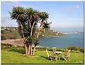
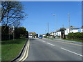
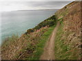
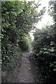
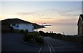
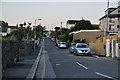
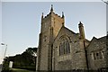
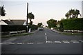
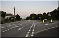
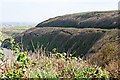
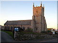
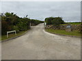
70 photos from this area
Area Information
Key information about the TR26 2TU including its size, population, and administrative classification.
- Area Type
- Postcode
- Area Size
- 2107 m²
- Population
- 2359
- Population Density
- 376 people/km²
House Prices in TR26 2TU
9
Properties
£177,300
Average Sold Price
£58,000
Lowest Price
£285,000
Highest Price
Showing 9 properties
| Address | Type | Beds | Baths | Last Sale Price | Last Sale Date | |
|---|---|---|---|---|---|---|
| 25, Hendras Court, Hendras Parc, Carbis Bay, TR26 2TU | Terraced | 2 | 1 | £285,000 | Mar 2021 | |
| 24, Hendras Court, Hendras Parc, Carbis Bay, TR26 2TU | Terraced | 2 | 1 | £235,000 | May 2018 | |
| 29, Hendras Court, Hendras Parc, Carbis Bay, TR26 2TU | Terraced | 2 | 1 | £225,000 | Oct 2017 | |
| 23, Hendras Court, Hendras Parc, Carbis Bay, TR26 2TU | Terraced | - | - | £83,500 | Apr 2001 | |
| 28, Hendras Court, Hendras Parc, Carbis Bay, TR26 2TU | house | - | - | £58,000 | Jun 1998 | |
| 21, Hendras Court, Hendras Parc, Carbis Bay, TR26 2TU | Terraced | 2 | 1 | - | - | |
| 22, Hendras Court, Hendras Parc, Carbis Bay, TR26 2TU | house | - | - | - | - | |
| 27, Hendras Court, Hendras Parc, Carbis Bay, TR26 2TU | house | - | - | - | - | |
| 20, Hendras Court, Hendras Parc, Carbis Bay, TR26 2TU | Terraced | - | - | - | - |
Energy Efficiency in TR26 2TU
Amenities
Schools
| Rank | School | Type | Entry gender | Ages |
|---|
Explore more schools in this area
Go to Schools tabDemographics
Household Size
Two person
most common
Accommodation Type
Houses
most common
Tenure
80
majority
Ethnic Group
White
most common
Religion
N/A
most common
Household Composition
N/A
most common
Age
47
median
Adults (30-64 years)
most common
Household Deprivation
N/A
with no deprivation
NS-SEC
34
in Lower managerial occupations
Explore more demographic insights in this area
Go to Demographics tabPlanning
Planning Constraints
- Flood RiskPremium
- Ramsar Wetland SitesPremium
- Area of Outstanding Natural BeautyPremium
- Protected Nature ReservePremium
- Protected WoodlandPremium