Area Overview for TR26 2EZ
Photos of TR26 2EZ
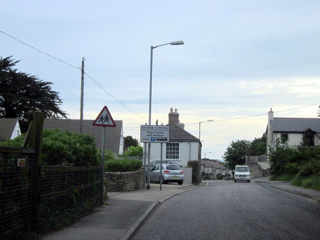
37 photos from this area
Area Information
Key information about the TR26 2EZ including its size, population, and administrative classification.
- Area Type
- Postcode
- Area Size
- 3273 m²
- Population
- 1557
- Population Density
- 235 people/km²
House Prices in TR26 2EZ
15
Properties
£120,489
Average Sold Price
£16,250
Lowest Price
£205,000
Highest Price
Showing 15 properties
| Address | Type | Beds | Baths | Last Sale Price | Last Sale Date | |
|---|---|---|---|---|---|---|
| 5 Parc An Forth, St Ives, TR26 2EZ | Terraced | 3 | 2 | £205,000 | Feb 2021 | |
| 7 Parc An Forth, St Ives, TR26 2EZ | Terraced | 1 | - | £16,250 | Dec 2018 | |
| 11 Parc An Forth, St Ives, TR26 2EZ | house | 3 | 2 | £140,000 | Dec 2011 | |
| 9 Parc An Forth, St Ives, TR26 2EZ | house | 3 | - | £85,000 | Mar 2011 | |
| 13 Parc An Forth, St Ives, TR26 2EZ | house | 3 | - | £170,000 | Aug 2010 | |
| 6 Parc An Forth, St Ives, TR26 2EZ | Terraced | - | - | £195,000 | Aug 2007 | |
| 12 Parc An Forth, St Ives, TR26 2EZ | Terraced | - | - | £164,950 | Jul 2005 | |
| 10 Parc An Forth, St Ives, TR26 2EZ | Terraced | - | - | £59,950 | Mar 1998 | |
| 1 Parc An Forth, St Ives, TR26 2EZ | Terraced | 3 | - | £48,250 | Jul 1995 | |
| Chy An Chy, Parc An Forth, St Ives, TR26 2EZ | house | - | - | - | - |
Page 1 of 2
Energy Efficiency in TR26 2EZ
Amenities
Schools
| Rank | School | Type | Entry gender | Ages |
|---|
Explore more schools in this area
Go to Schools tabDemographics
Household Size
Two person
most common
Accommodation Type
Houses
most common
Tenure
53
majority
Ethnic Group
White
most common
Religion
N/A
most common
Household Composition
N/A
most common
Age
47
median
Adults (30-64 years)
most common
Household Deprivation
N/A
with no deprivation
NS-SEC
23
in Lower managerial occupations
Explore more demographic insights in this area
Go to Demographics tabPlanning
Planning Constraints
- Flood RiskPremium
- Ramsar Wetland SitesPremium
- Area of Outstanding Natural BeautyPremium
- Protected Nature ReservePremium
- Protected WoodlandPremium