Area Overview for TR19 7DP
Photos of TR19 7DP
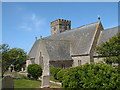
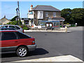
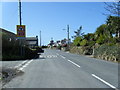
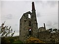
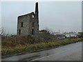
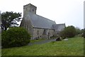
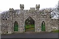
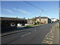
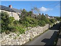
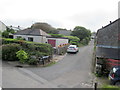
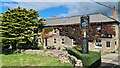
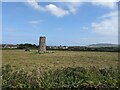
58 photos from this area
Area Information
Key information about the TR19 7DP including its size, population, and administrative classification.
- Area Type
- Postcode
- Area Size
- 10.8 hectares
- Population
- 1537
- Population Density
- 126 people/km²
House Prices in TR19 7DP
40
Properties
£231,182
Average Sold Price
£54,000
Lowest Price
£445,000
Highest Price
Showing 40 properties
| Address | Type | Beds | Baths | Last Sale Price | Last Sale Date | |
|---|---|---|---|---|---|---|
| High Bank, St Johns Terrace, Pendeen, TR19 7DP | Terraced | 4 | 1 | £330,000 | Mar 2025 | |
| Trevelmond House, 16 St Johns Terrace, Pendeen, TR19 7DP | Detached | 3 | 2 | £350,000 | Jan 2025 | |
| 1 St Johns Terrace, Pendeen, TR19 7DP | house | 3 | - | £445,000 | Feb 2024 | |
| 1, Carn Cottages, St Johns Terrace, Pendeen, TR19 7DP | Terraced | 3 | 1 | £390,000 | Jul 2023 | |
| Corn An Pras, St Johns Terrace, Pendeen, TR19 7DP | Bungalow | - | - | £425,000 | Nov 2021 | |
| By Chance, St Johns Terrace, Pendeen, TR19 7DP | Bungalow | 4 | 1 | £245,000 | Dec 2019 | |
| Chy En Meneth, St Johns Terrace, Pendeen, TR19 7DP | Detached | - | - | £272,500 | Oct 2019 | |
| 3, Carn Cottages, St Johns Terrace, Pendeen, TR19 7DP | Terraced | 2 | - | £229,000 | Jul 2019 | |
| 2, Sunnyvale Bungalows, St Johns Terrace, Pendeen, TR19 7DP | Semi-detached | 3 | 1 | £84,000 | May 2019 | |
| 4 St Johns Terrace, Pendeen, TR19 7DP | Cottage | 3 | 2 | £200,000 | Feb 2018 |
Page 1 of 4
Energy Efficiency in TR19 7DP
Amenities
Schools
| Rank | School | Type | Entry gender | Ages |
|---|
Explore more schools in this area
Go to Schools tabDemographics
Household Size
Two person
most common
Accommodation Type
Houses
most common
Tenure
69
majority
Ethnic Group
White
most common
Religion
N/A
most common
Household Composition
N/A
most common
Age
47
median
Adults (30-64 years)
most common
Household Deprivation
N/A
with no deprivation
NS-SEC
28
in Lower managerial occupations
Explore more demographic insights in this area
Go to Demographics tabPlanning
Planning Constraints
- Flood RiskPremium
- Ramsar Wetland SitesPremium
- Area of Outstanding Natural BeautyPremium
- Protected Nature ReservePremium
- Protected WoodlandPremium