Area Overview for TR19 6SJ
Photos of TR19 6SJ
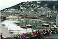
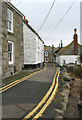
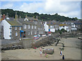
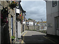
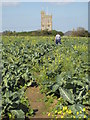
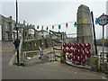
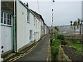
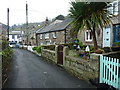
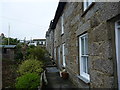
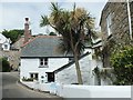
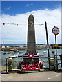
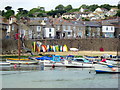
100 photos from this area
Area Information
Key information about the TR19 6SJ including its size, population, and administrative classification.
- Area Type
- Postcode
- Area Size
- 3044 m²
- Population
- 1202
- Population Density
- 300 people/km²
House Prices in TR19 6SJ
15
Properties
£356,000
Average Sold Price
£71,000
Lowest Price
£560,000
Highest Price
Showing 15 properties
| Address | Type | Beds | Baths | Last Sale Price | Last Sale Date | |
|---|---|---|---|---|---|---|
| 3 St Clements Terrace, Mousehole, TR19 6SJ | Terraced | 3 | 2 | £560,000 | Oct 2023 | |
| 12 St Clements Terrace, Mousehole, TR19 6SJ | Detached | 2 | 2 | £525,000 | Mar 2023 | |
| The Lifeboat House, 2 St Clements Terrace, Mousehole, TR19 6SJ | Terraced | 2 | - | £550,000 | Jan 2021 | |
| Hawthorn Cottage, 19 St Clements Terrace, Mousehole, TR19 6SJ | Terraced | 2 | - | £270,000 | Nov 2015 | |
| 5 St Clements Terrace, Mousehole, TR19 6SJ | Semi-detached | - | - | £160,000 | Nov 2002 | |
| 6 St Clements Terrace, Mousehole, TR19 6SJ | Detached | 4 | 3 | £71,000 | Mar 1998 | |
| St Clements Villa, St Clements Terrace, Mousehole, TR19 6SJ | Detached | 3 | 2 | - | - | |
| St Clements Cottage, 17 St Clements Terrace, Mousehole, TR19 6SJ | Bungalow | 2 | 1 | - | - | |
| St Clements House, St Clements Terrace, Mousehole, TR19 6SJ | Terraced | 3 | - | - | - | |
| 6 St Clements Terrace, Mousehole, TR19 6SJ | Semi-detached | - | - | - | - |
Page 1 of 2
Energy Efficiency in TR19 6SJ
Amenities
Schools
| Rank | School | Type | Entry gender | Ages |
|---|
Explore more schools in this area
Go to Schools tabDemographics
Household Size
One person
most common
Accommodation Type
Houses
most common
Tenure
74
majority
Ethnic Group
White
most common
Religion
N/A
most common
Household Composition
N/A
most common
Age
47
median
Adults (30-64 years)
most common
Household Deprivation
N/A
with no deprivation
NS-SEC
37
in Lower managerial occupations
Explore more demographic insights in this area
Go to Demographics tabPlanning
Planning Constraints
- Flood RiskPremium
- Ramsar Wetland SitesPremium
- Area of Outstanding Natural BeautyPremium
- Protected Nature ReservePremium
- Protected WoodlandPremium