Area Overview for TR19 6EJ
Photos of TR19 6EJ
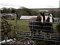
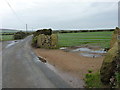
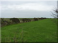
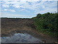
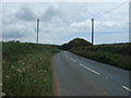
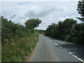
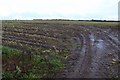
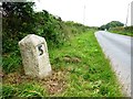
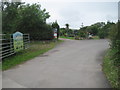

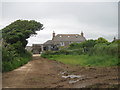

20 photos from this area
Area Information
Key information about the TR19 6EJ including its size, population, and administrative classification.
- Area Type
- Postcode
- Area Size
- 88.8 hectares
- Population
- 2163
- Population Density
- 59 people/km²
House Prices in TR19 6EJ
11
Properties
£160,000
Average Sold Price
£30,000
Lowest Price
£290,000
Highest Price
Showing 11 properties
| Address | Type | Beds | Baths | Last Sale Price | Last Sale Date | |
|---|---|---|---|---|---|---|
| Chy-an-nans, A 30 Between Trevorgans Cross And Catchall, St Buryan, TR19 6EJ | Bungalow | - | - | £290,000 | Jun 2012 | |
| Lower Leha Farmhouse, A 30 Between Trevorgans Cross And Catchall, St Buryan, TR19 6EJ | Detached | - | - | £30,000 | Jul 1997 | |
| Higher Leah, Access Track To Higher Leah, St Buryan, TR19 6EJ | Land | - | - | - | - | |
| Mys Hedra Farm, A 30 Between Trevorgans Cross And Catchall, St Buryan, TR19 6EJ | Semi-detached | 3 | - | - | - | |
| Caravan, Mys Hedra Farm, A 30 Between Trevorgans Cross And Catchall, St Buryan, TR19 6EJ | Mobile Home | - | - | - | - | |
| Caravan 2, Mys Hedra Farm, A 30 Between Trevorgans Cross And Catchall, St Buryan, TR19 6EJ | Mobile Home | - | - | - | - | |
| The Bungalow, Access Track To Higher Leah, St Buryan, TR19 6EJ | Detached | - | - | - | - | |
| Leha Vean, Lower Leha Farm, A 30 Between Trevorgans Cross And Catchall, St Buryan, TR19 6EJ | Detached | - | - | - | - | |
| Lower Leha Farm, A 30 Between Trevorgans Cross And Catchall, St Buryan, TR19 6EJ | Industrial | - | - | - | - | |
| Lower Leha, A 30 Between Trevorgans Cross And Catchall, St Buryan, TR19 6EJ | Semi-detached | - | - | - | - |
Page 1 of 2
Energy Efficiency in TR19 6EJ
Amenities
Schools
| Rank | School | Type | Entry gender | Ages |
|---|
Explore more schools in this area
Go to Schools tabDemographics
Household Size
Two person
most common
Accommodation Type
Houses
most common
Tenure
64
majority
Ethnic Group
White
most common
Religion
N/A
most common
Household Composition
N/A
most common
Age
47
median
Adults (30-64 years)
most common
Household Deprivation
N/A
with no deprivation
NS-SEC
30
in Lower managerial occupations
Explore more demographic insights in this area
Go to Demographics tabPlanning
Planning Constraints
- Flood RiskPremium
- Ramsar Wetland SitesPremium
- Area of Outstanding Natural BeautyPremium
- Protected Nature ReservePremium
- Protected WoodlandPremium