Area Overview for TR18 3HG
Photos of TR18 3HG
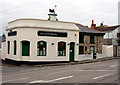
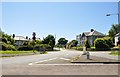
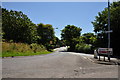
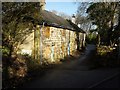
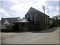
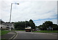
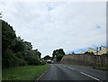
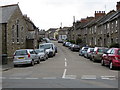
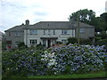
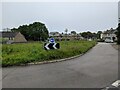
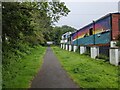
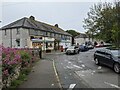
35 photos from this area
Area Information
Key information about the TR18 3HG including its size, population, and administrative classification.
- Area Type
- Postcode
- Area Size
- 1648 m²
- Population
- 1317
- Population Density
- 798931 people/km²
House Prices in TR18 3HG
17
Properties
£131,612
Average Sold Price
£31,000
Lowest Price
£204,000
Highest Price
Showing 17 properties
| Address | Type | Beds | Baths | Last Sale Price | Last Sale Date | |
|---|---|---|---|---|---|---|
| 6 Jamaica Place, Heamoor, TR18 3HG | Terraced | 1 | 1 | £204,000 | Aug 2025 | |
| 13 Jamaica Place, Heamoor, TR18 3HG | house | 2 | 1 | £180,000 | Jan 2025 | |
| 11 Jamaica Place, Heamoor, TR18 3HG | Terraced | 2 | 1 | £175,000 | Nov 2024 | |
| 16 Jamaica Place, Heamoor, TR18 3HG | Terraced | 2 | 1 | £136,000 | Nov 2023 | |
| 17 Jamaica Place, Heamoor, TR18 3HG | house | 2 | 1 | £146,000 | Jul 2022 | |
| 15 Jamaica Place, Heamoor, TR18 3HG | Terraced | 1 | 1 | £145,000 | Oct 2019 | |
| 18 Jamaica Place, Heamoor, TR18 3HG | Terraced | 2 | - | £145,000 | Dec 2016 | |
| 9-10 Jamaica Place, Heamoor, TR18 3HG | house | - | - | £199,950 | Jul 2012 | |
| 12 Jamaica Place, Heamoor, TR18 3HG | Terraced | - | - | £149,500 | Jun 2007 | |
| 4 Jamaica Place, Heamoor, TR18 3HG | house | - | - | £74,000 | Apr 2002 |
Page 1 of 2
Energy Efficiency in TR18 3HG
Amenities
Schools
| Rank | School | Type | Entry gender | Ages |
|---|
Explore more schools in this area
Go to Schools tabDemographics
Household Size
One person
most common
Accommodation Type
Houses
most common
Tenure
46
majority
Ethnic Group
White
most common
Religion
N/A
most common
Household Composition
N/A
most common
Age
47
median
Adults (30-64 years)
most common
Household Deprivation
N/A
with no deprivation
NS-SEC
20
in Lower managerial occupations
Explore more demographic insights in this area
Go to Demographics tabPlanning
Planning Constraints
- Flood RiskPremium
- Ramsar Wetland SitesPremium
- Area of Outstanding Natural BeautyPremium
- Protected Nature ReservePremium
- Protected WoodlandPremium