Area Overview for TR18 2DJ
Photos of TR18 2DJ
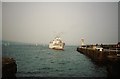
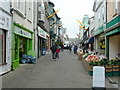
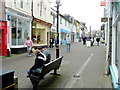
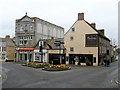
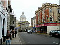
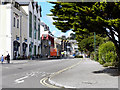
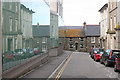
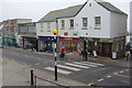
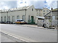
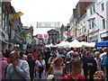

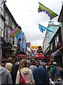
100 photos from this area
Area Information
Key information about the TR18 2DJ including its size, population, and administrative classification.
- Area Type
- Postcode
- Area Size
- 1469 m²
- Population
- 1370
- Population Density
- 10786 people/km²
House Prices in TR18 2DJ
20
Properties
£147,746
Average Sold Price
£39,000
Lowest Price
£250,000
Highest Price
Showing 20 properties
| Address | Type | Beds | Baths | Last Sale Price | Last Sale Date | |
|---|---|---|---|---|---|---|
| 16 St Marys Street, Penzance, TR18 2DJ | Terraced | 3 | 1 | £236,000 | Jan 2025 | |
| 23 St Marys Street, Penzance, TR18 2DJ | Terraced | 3 | 2 | £250,000 | Nov 2023 | |
| 25 St Marys Street, Penzance, TR18 2DJ | Terraced | 2 | 1 | £187,000 | Dec 2019 | |
| 17 St Marys Street, Penzance, TR18 2DJ | Terraced | 2 | 1 | £145,000 | Jun 2017 | |
| 18 St Marys Street, Penzance, TR18 2DJ | Terraced | 3 | 1 | £147,500 | May 2017 | |
| 26 St Marys Street, Penzance, TR18 2DJ | Terraced | 3 | 1 | £145,000 | May 2017 | |
| 22 St Marys Street, Penzance, TR18 2DJ | Terraced | 4 | 1 | £147,950 | Mar 2010 | |
| 13 St Marys Street, Penzance, TR18 2DJ | house | - | - | £118,500 | Jun 2009 | |
| 21 St Marys Street, Penzance, TR18 2DJ | Terraced | - | - | £157,000 | Jun 2008 | |
| 20 St Marys Street, Penzance, TR18 2DJ | house | - | - | £140,000 | Aug 2004 |
Page 1 of 2
Energy Efficiency in TR18 2DJ
Amenities
Schools
| Rank | School | Type | Entry gender | Ages |
|---|
Explore more schools in this area
Go to Schools tabDemographics
Household Size
One person
most common
Accommodation Type
Houses
most common
Tenure
59
majority
Ethnic Group
White
most common
Religion
N/A
most common
Household Composition
N/A
most common
Age
47
median
Adults (30-64 years)
most common
Household Deprivation
N/A
with no deprivation
NS-SEC
27
in Lower managerial occupations
Explore more demographic insights in this area
Go to Demographics tabPlanning
Planning Constraints
- Flood RiskPremium
- Ramsar Wetland SitesPremium
- Area of Outstanding Natural BeautyPremium
- Protected Nature ReservePremium
- Protected WoodlandPremium