Area Overview for TR18 2AX
Photos of TR18 2AX
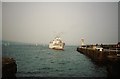
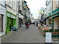
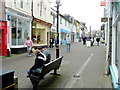
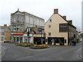
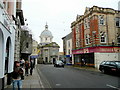
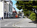
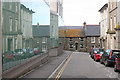
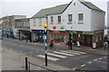
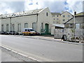
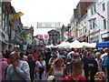

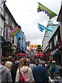
100 photos from this area
Area Information
Key information about the TR18 2AX including its size, population, and administrative classification.
- Area Type
- Postcode
- Area Size
- 7538 m²
- Population
- 1503
- Population Density
- 2518 people/km²
House Prices in TR18 2AX
30
Properties
£192,330
Average Sold Price
£59,950
Lowest Price
£390,000
Highest Price
Showing 30 properties
| Address | Type | Beds | Baths | Last Sale Price | Last Sale Date | |
|---|---|---|---|---|---|---|
| Brioni, Castle Road, Penzance, TR18 2AX | Semi-detached | 3 | 1 | £390,000 | Jan 2024 | |
| Carleith, Castle Road, Penzance, TR18 2AX | Semi-detached | - | - | £250,000 | Mar 2021 | |
| 21 Castle Road, Penzance, TR18 2AX | Terraced | 3 | 1 | £250,000 | Aug 2018 | |
| 22 Castle Road, Penzance, TR18 2AX | Terraced | 3 | 2 | £245,000 | Sep 2015 | |
| 16 Castle Road, Penzance, TR18 2AX | Terraced | - | - | £170,000 | Oct 2012 | |
| Fingle, Castle Road, Penzance, TR18 2AX | Terraced | 3 | - | £250,000 | Aug 2012 | |
| Penhall, Castle Road, Penzance, TR18 2AX | house | - | - | £220,000 | Jan 2010 | |
| 4 Castle Road, Penzance, TR18 2AX | Terraced | - | - | £230,000 | Aug 2008 | |
| 6 Castle Road, Penzance, TR18 2AX | Terraced | - | - | £245,000 | Dec 2007 | |
| 8 Castle Road, Penzance, TR18 2AX | Terraced | - | - | £170,822 | Oct 2006 |
Page 1 of 3
Energy Efficiency in TR18 2AX
Amenities
Schools
| Rank | School | Type | Entry gender | Ages |
|---|
Explore more schools in this area
Go to Schools tabDemographics
Household Size
One person
most common
Accommodation Type
Houses
most common
Tenure
58
majority
Ethnic Group
White
most common
Religion
N/A
most common
Household Composition
N/A
most common
Age
47
median
Adults (30-64 years)
most common
Household Deprivation
N/A
with no deprivation
NS-SEC
25
in Lower managerial occupations
Explore more demographic insights in this area
Go to Demographics tabPlanning
Planning Constraints
- Flood RiskPremium
- Ramsar Wetland SitesPremium
- Area of Outstanding Natural BeautyPremium
- Protected Nature ReservePremium
- Protected WoodlandPremium