Area Overview for TR16 4RR
Photos of TR16 4RR
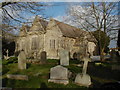
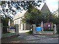
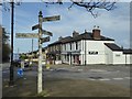
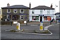
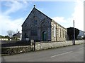
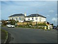
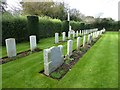
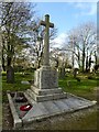
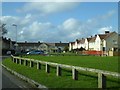
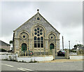
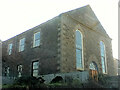
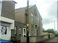
23 photos from this area
Area Information
Key information about the TR16 4RR including its size, population, and administrative classification.
- Area Type
- Postcode
- Area Size
- 6552 m²
- Population
- 1328
- Population Density
- 1154 people/km²
House Prices in TR16 4RR
13
Properties
£265,988
Average Sold Price
£184,000
Lowest Price
£390,000
Highest Price
Showing 13 properties
| Address | Type | Beds | Baths | Last Sale Price | Last Sale Date | |
|---|---|---|---|---|---|---|
| Carn View Farm, Trevelyan Road, Illogan, TR16 4RR | Detached | 3 | 1 | £390,000 | Dec 2025 | |
| Glencarn, Trevelyan Road, Illogan, TR16 4RR | Bungalow | - | - | £250,000 | Jan 2023 | |
| Denmyr, Trevelyan Road, Illogan, TR16 4RR | Bungalow | 3 | 2 | £184,000 | Sep 2015 | |
| Charnel, Trevelyan Road, Illogan, TR16 4RR | Semi-detached | - | - | £239,950 | Oct 2006 | |
| Bojuthnoe, Trevelyan Road, Illogan, TR16 4RR | Bungalow | 4 | 1 | - | - | |
| Vosher, Trevelyan Road, Illogan, TR16 4RR | Detached | - | - | - | - | |
| 2, Bain Memorial, Trevelyan Road, Illogan, TR16 4RR | Semi-detached | - | - | - | - | |
| 1, Bain Memorial, Trevelyan Road, Illogan, TR16 4RR | Semi-detached | - | - | - | - | |
| Oil Storage Tank, Alexandra Close, Illogan, TR16 4RR | Industrial | - | - | - | - | |
| Katrina, Trevelyan Road, Illogan, TR16 4RR | Detached | - | - | - | - |
Page 1 of 2
Energy Efficiency in TR16 4RR
Amenities
Schools
| Rank | School | Type | Entry gender | Ages |
|---|
Explore more schools in this area
Go to Schools tabDemographics
Household Size
Two person
most common
Accommodation Type
Houses
most common
Tenure
58
majority
Ethnic Group
White
most common
Religion
N/A
most common
Household Composition
N/A
most common
Age
47
median
Adults (30-64 years)
most common
Household Deprivation
N/A
with no deprivation
NS-SEC
26
in Lower managerial occupations
Explore more demographic insights in this area
Go to Demographics tabPlanning
Planning Constraints
- Flood RiskPremium
- Ramsar Wetland SitesPremium
- Area of Outstanding Natural BeautyPremium
- Protected Nature ReservePremium
- Protected WoodlandPremium