Area Overview for TR15 3AJ
Photos of TR15 3AJ
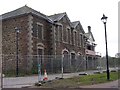
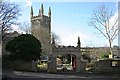
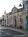
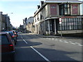
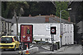
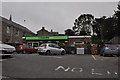
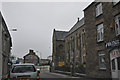
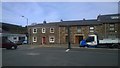
100 photos from this area
Area Information
Key information about the TR15 3AJ including its size, population, and administrative classification.
- Area Type
- Postcode
- Area Size
- 3.4 hectares
- Population
- 1754
- Population Density
- 2764 people/km²
House Prices in TR15 3AJ
17
Properties
£214,445
Average Sold Price
£100,340
Lowest Price
£375,000
Highest Price
Showing 17 properties
| Address | Type | Beds | Baths | Last Sale Price | Last Sale Date | |
|---|---|---|---|---|---|---|
| Tregenna, West Park, Redruth, TR15 3AJ | Bungalow | 4 | 2 | £320,000 | Jun 2025 | |
| 9 West Park, Redruth, TR15 3AJ | Bungalow | 2 | 1 | £190,000 | Dec 2024 | |
| Tamarisk, West Park, Redruth, TR15 3AJ | Bungalow | - | - | £360,000 | Mar 2022 | |
| 6 West Park, Redruth, TR15 3AJ | house | - | - | £151,000 | Mar 2022 | |
| The Beeches, 8 West Park, Redruth, TR15 3AJ | Bungalow | 5 | 2 | £375,000 | Jul 2020 | |
| 1 West Park, Redruth, TR15 3AJ | Detached | 4 | 1 | £180,000 | Aug 2017 | |
| Breaside, West Park, Redruth, TR15 3AJ | Semi-detached | 3 | - | £200,000 | Mar 2017 | |
| Carbys, West Park, Redruth, TR15 3AJ | Detached | 4 | 2 | £295,000 | Jun 2016 | |
| 4 West Park, Redruth, TR15 3AJ | Semi-detached | 4 | - | £161,000 | Jun 2016 | |
| 7 West Park, Redruth, TR15 3AJ | Detached | - | - | £100,340 | Dec 2008 |
Page 1 of 2
Energy Efficiency in TR15 3AJ
Amenities
Schools
| Rank | School | Type | Entry gender | Ages |
|---|
Explore more schools in this area
Go to Schools tabDemographics
Household Size
One person
most common
Accommodation Type
Houses
most common
Tenure
48
majority
Ethnic Group
White
most common
Religion
N/A
most common
Household Composition
N/A
most common
Age
47
median
Adults (30-64 years)
most common
Household Deprivation
N/A
with no deprivation
NS-SEC
24
in Lower managerial occupations
Explore more demographic insights in this area
Go to Demographics tabPlanning
Planning Constraints
- Flood RiskPremium
- Ramsar Wetland SitesPremium
- Area of Outstanding Natural BeautyPremium
- Protected Nature ReservePremium
- Protected WoodlandPremium