Area Overview for TR13 8FS
Photos of TR13 8FS
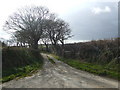
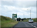
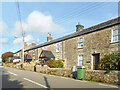
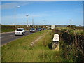
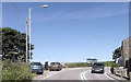
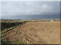
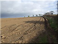
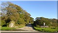
14 photos from this area
Area Information
Key information about the TR13 8FS including its size, population, and administrative classification.
- Area Type
- Postcode
- Area Size
- 4.8 hectares
- Population
- 1630
- Population Density
- 384 people/km²
House Prices in TR13 8FS
16
Properties
£187,843
Average Sold Price
£89,950
Lowest Price
£350,000
Highest Price
Showing 16 properties
| Address | Type | Beds | Baths | Last Sale Price | Last Sale Date | |
|---|---|---|---|---|---|---|
| 3 Wheal Oak, Helston, TR13 8FS | Detached | 3 | 1 | £350,000 | Oct 2024 | |
| 9 Wheal Oak, Helston, TR13 8FS | Detached | 3 | 1 | £255,000 | Jul 2020 | |
| 2 Wheal Oak, Helston, TR13 8FS | Detached | 4 | 2 | £280,000 | Jul 2019 | |
| 14 Wheal Oak, Helston, TR13 8FS | Detached | 3 | 1 | £245,000 | Apr 2019 | |
| Tournels, 5 Wheal Oak, Helston, TR13 8FS | Detached | 3 | - | £215,000 | Feb 2017 | |
| 12 Wheal Oak, Helston, TR13 8FS | house | - | - | £209,000 | Aug 2015 | |
| 8 Wheal Oak, Helston, TR13 8FS | house | - | - | £185,000 | Sep 2005 | |
| 15 Wheal Oak, Helston, TR13 8FS | Detached | - | - | £196,000 | Sep 2004 | |
| 11 Wheal Oak, Helston, TR13 8FS | Detached | - | - | £160,000 | Sep 2003 | |
| 10 Wheal Oak, Helston, TR13 8FS | Detached | - | - | £124,950 | Feb 2003 |
Page 1 of 2
Energy Efficiency in TR13 8FS
Amenities
Schools
| Rank | School | Type | Entry gender | Ages |
|---|
Explore more schools in this area
Go to Schools tabDemographics
Household Size
Two person
most common
Accommodation Type
Houses
most common
Tenure
84
majority
Ethnic Group
White
most common
Religion
N/A
most common
Household Composition
N/A
most common
Age
47
median
Adults (30-64 years)
most common
Household Deprivation
N/A
with no deprivation
NS-SEC
31
in Lower managerial occupations
Explore more demographic insights in this area
Go to Demographics tabPlanning
Planning Constraints
- Flood RiskPremium
- Ramsar Wetland SitesPremium
- Area of Outstanding Natural BeautyPremium
- Protected Nature ReservePremium
- Protected WoodlandPremium