Area Overview for TR11 3BE
Photos of TR11 3BE
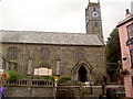
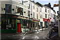
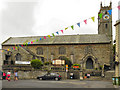
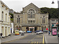
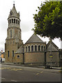
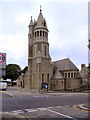
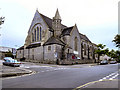
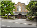

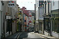
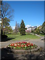
100 photos from this area
Area Information
Key information about the TR11 3BE including its size, population, and administrative classification.
- Area Type
- Postcode
- Area Size
- 6015 m²
- Population
- 1953
- Population Density
- 9476 people/km²
House Prices in TR11 3BE
34
Properties
£293,309
Average Sold Price
£72,500
Lowest Price
£445,000
Highest Price
Showing 34 properties
| Address | Type | Beds | Baths | Last Sale Price | Last Sale Date | |
|---|---|---|---|---|---|---|
| 28 Vernon Place, Falmouth, TR11 3BE | Terraced | 3 | 1 | £415,000 | May 2024 | |
| 29 Vernon Place, Falmouth, TR11 3BE | Terraced | 3 | 1 | £330,000 | Sep 2023 | |
| 17 Vernon Place, Falmouth, TR11 3BE | Terraced | 4 | 2 | £425,000 | Jun 2023 | |
| 15 Vernon Place, Falmouth, TR11 3BE | house | - | - | £315,000 | Sep 2021 | |
| 3 VERNON PLACE, Falmouth, TR11 3BE | Detached | - | - | £445,000 | Jun 2021 | |
| THE COTTAGE, VERNON PLACE, Falmouth, TR11 3BE | Detached | 2 | 1 | £362,500 | May 2021 | |
| 33 Vernon Place, Falmouth, TR11 3BE | Terraced | 3 | 1 | £213,000 | Nov 2019 | |
| 35 Vernon Place, Falmouth, TR11 3BE | Terraced | 2 | 1 | £235,000 | Jan 2019 | |
| 18 Vernon Place, Falmouth, TR11 3BE | Terraced | 4 | 1 | £400,000 | Oct 2017 | |
| 30 Vernon Place, Falmouth, TR11 3BE | Terraced | 3 | 1 | £239,950 | Feb 2015 |
Page 1 of 4
Energy Efficiency in TR11 3BE
Amenities
Schools
| Rank | School | Type | Entry gender | Ages |
|---|
Explore more schools in this area
Go to Schools tabDemographics
Household Size
Family (3-5 people)
most common
Accommodation Type
Houses
most common
Tenure
40
majority
Ethnic Group
White
most common
Religion
N/A
most common
Household Composition
N/A
most common
Age
22
median
Young Adults (15-29 years)
most common
Household Deprivation
N/A
with no deprivation
NS-SEC
23
in Lower managerial occupations
Explore more demographic insights in this area
Go to Demographics tabPlanning
Planning Constraints
- Flood RiskPremium
- Ramsar Wetland SitesPremium
- Area of Outstanding Natural BeautyPremium
- Protected Nature ReservePremium
- Protected WoodlandPremium