Area Overview for TR1 2SN
Photos of TR1 2SN
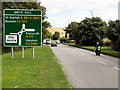
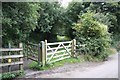
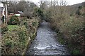

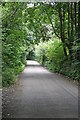
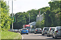
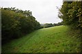
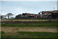
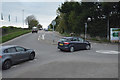
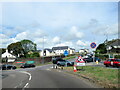
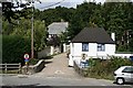
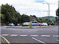
43 photos from this area
Area Information
Key information about the TR1 2SN including its size, population, and administrative classification.
- Area Type
- Postcode
- Area Size
- 18.6 hectares
- Population
- 1948
- Population Density
- 1082 people/km²
House Prices in TR1 2SN
72
Properties
£9,120,000
Average Sold Price
£9,120,000
Lowest Price
£9,120,000
Highest Price
Showing 72 properties
| Address | Type | Beds | Baths | Last Sale Price | Last Sale Date | |
|---|---|---|---|---|---|---|
| Higher Newham Farm, Road Joining Morlaix Avenue To Higher Newham Lane, Truro, TR1 2SN | Semi-detached | 3 | 2 | £9,120,000 | Jan 2023 | |
| 13 Park An Vre, Truro, TR1 2SN | Flat | 2 | 1 | - | - | |
| 21 Stret Lugh, Truro, TR1 2SN | Flat | 1 | 1 | - | - | |
| 10 Park Deg Erow, Truro, TR1 2SN | Unknown | - | - | - | - | |
| 23 Stret Lugh, Truro, TR1 2SN | Unknown | - | - | - | - | |
| 3 Park An Vre, Truro, TR1 2SN | Unknown | - | - | - | - | |
| 11 Kew Wartha, Truro, TR1 2SN | Unknown | - | - | - | - | |
| 6 Park Deg Erow, Truro, TR1 2SN | Unknown | - | - | - | - | |
| 9 Stret Lugh, Truro, TR1 2SN | Unknown | - | - | - | - | |
| 5 Park An Vre, Truro, TR1 2SN | Unknown | - | - | - | - |
Page 1 of 8
Energy Efficiency in TR1 2SN
Amenities
Schools
| Rank | School | Type | Entry gender | Ages |
|---|
Explore more schools in this area
Go to Schools tabDemographics
Household Size
Two person
most common
Accommodation Type
Houses
most common
Tenure
67
majority
Ethnic Group
White
most common
Religion
N/A
most common
Household Composition
N/A
most common
Age
47
median
Adults (30-64 years)
most common
Household Deprivation
N/A
with no deprivation
NS-SEC
45
in Lower managerial occupations
Explore more demographic insights in this area
Go to Demographics tabPlanning
Planning Constraints
- Flood RiskPremium
- Ramsar Wetland SitesPremium
- Area of Outstanding Natural BeautyPremium
- Protected Nature ReservePremium
- Protected WoodlandPremium