Area Overview for TR1 2BS
Photos of TR1 2BS
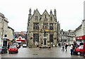
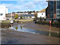
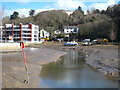
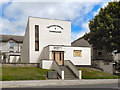
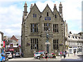
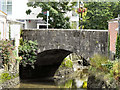
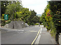
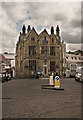
100 photos from this area
Area Information
Key information about the TR1 2BS including its size, population, and administrative classification.
- Area Type
- Postcode
- Area Size
- 2.4 hectares
- Population
- 1948
- Population Density
- 1082 people/km²
House Prices in TR1 2BS
30
Properties
£274,472
Average Sold Price
£58,000
Lowest Price
£575,000
Highest Price
Showing 30 properties
| Address | Type | Beds | Baths | Last Sale Price | Last Sale Date | |
|---|---|---|---|---|---|---|
| 28 Northfield Drive, Truro, TR1 2BS | Detached | 4 | 3 | £575,000 | Aug 2025 | |
| 16 Northfield Drive, Truro, TR1 2BS | Bungalow | 3 | 1 | £490,000 | Jun 2025 | |
| 22 Northfield Drive, Truro, TR1 2BS | house | - | - | £365,000 | Jun 2021 | |
| 15 Northfield Drive, Truro, TR1 2BS | house | 3 | 2 | £278,000 | Aug 2019 | |
| 13 Northfield Drive, Truro, TR1 2BS | Detached | 3 | 1 | £282,000 | Dec 2018 | |
| 2 Northfield Drive, Truro, TR1 2BS | Bungalow | 3 | - | £242,500 | Jul 2016 | |
| 3 Northfield Drive, Truro, TR1 2BS | Bungalow | 3 | - | £280,000 | Nov 2014 | |
| 30 Northfield Drive, Truro, TR1 2BS | house | - | - | £322,500 | Sep 2013 | |
| 25 Northfield Drive, Truro, TR1 2BS | Semi-detached | 4 | 1 | £225,000 | Sep 2011 | |
| 6 Northfield Drive, Truro, TR1 2BS | Bungalow | 4 | - | £245,000 | Dec 2010 |
Page 1 of 3
Energy Efficiency in TR1 2BS
Amenities
Schools
| Rank | School | Type | Entry gender | Ages |
|---|
Explore more schools in this area
Go to Schools tabDemographics
Household Size
Two person
most common
Accommodation Type
Houses
most common
Tenure
67
majority
Ethnic Group
White
most common
Religion
N/A
most common
Household Composition
N/A
most common
Age
47
median
Adults (30-64 years)
most common
Household Deprivation
N/A
with no deprivation
NS-SEC
45
in Lower managerial occupations
Explore more demographic insights in this area
Go to Demographics tabPlanning
Planning Constraints
- Flood RiskPremium
- Ramsar Wetland SitesPremium
- Area of Outstanding Natural BeautyPremium
- Protected Nature ReservePremium
- Protected WoodlandPremium