Area Overview for TQ7 3RW
Photos of TQ7 3RW
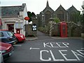
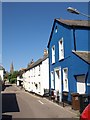
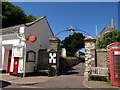
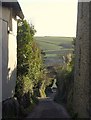

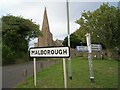
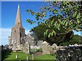
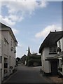
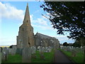
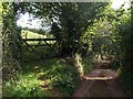
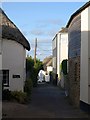
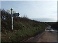
71 photos from this area
Area Information
Key information about the TQ7 3RW including its size, population, and administrative classification.
- Area Type
- Postcode
- Area Size
- 4718 m²
- Population
- 2011
- Population Density
- 88 people/km²
House Prices in TQ7 3RW
10
Properties
£303,701
Average Sold Price
£181,005
Lowest Price
£500,000
Highest Price
Showing 10 properties
| Address | Type | Beds | Baths | Last Sale Price | Last Sale Date | |
|---|---|---|---|---|---|---|
| Church End Cottage, Higher Town, Malborough, TQ7 3RW | Semi-detached | 2 | 1 | £307,500 | Jun 2023 | |
| Myrtle Cottage, Higher Town, Malborough, TQ7 3RW | Semi-detached | - | - | £500,000 | Jan 2023 | |
| Ellenor, Higher Town, Malborough, TQ7 3RW | house | - | - | £330,000 | Nov 2020 | |
| Eddystone Cottage, Higher Town, Malborough, TQ7 3RW | house | - | - | £200,000 | Dec 2016 | |
| 1, Dor-ka-joy Cottages, Higher Town, Malborough, TQ7 3RW | Terraced | 2 | 2 | £181,005 | May 2005 | |
| 3, Churchgate Cottages, Higher Town, Malborough, TQ7 3RW | Terraced | 2 | - | - | - | |
| Church Gate Cottage, Higher Town, Malborough, TQ7 3RW | house | 3 | - | - | - | |
| Retreat, Higher Town, Malborough, TQ7 3RW | Semi-detached | 2 | - | - | - | |
| 2, Churchgate Cottages, Higher Town, Malborough, TQ7 3RW | Terraced | - | - | - | - | |
| West End Cottage, Higher Town, Malborough, TQ7 3RW | house | - | - | - | - |
Energy Efficiency in TQ7 3RW
Amenities
Schools
| Rank | School | Type | Entry gender | Ages |
|---|
Explore more schools in this area
Go to Schools tabDemographics
Household Size
Two person
most common
Accommodation Type
Houses
most common
Tenure
71
majority
Ethnic Group
White
most common
Religion
N/A
most common
Household Composition
N/A
most common
Age
47
median
Adults (30-64 years)
most common
Household Deprivation
N/A
with no deprivation
NS-SEC
33
in Lower managerial occupations
Explore more demographic insights in this area
Go to Demographics tabPlanning
Planning Constraints
- Flood RiskPremium
- Ramsar Wetland SitesPremium
- Area of Outstanding Natural BeautyPremium
- Protected Nature ReservePremium
- Protected WoodlandPremium